While crusade routes along the Daugava and the Gauja are marked with castles built on the sites of the lost Livonian, Latgalian and Wendian fortresses, the «sites of commemoration» created by German knights on Ösel (modern Saaremaa) consist of Catholic churches founded by Christian missionaries in the 13th century. As a rule, these churches were built near the ruins of destroyed pagan fortresses. Contrarily to the Daugava and the Gauja basin, the fortresses on Saaremaa are not buried under the walls and towers of newly built German castles, but rather resemble huge hecatombs or landmarks on the way of the cross and the sword that the were the tools the crusaders used to Christianize these lands. This pair of medieval monuments — a hill and a church — constitute impressive symbols of crusades in the Baltics.
The ferry arrives on the eastern shore of the island, and from there we will proceed along contemporary routes from Virtsu — Kuivastu ferry line via Muhu island. In the middle of the road between Kuivastu and Linnuse, in the centre of Muhu, lies Liiva village. One of the oldest and most beautiful churches in Estonia, the Church of St. Catherine of Alexandria, is situated there (58° 36′ 14″ N, 23° 13′ 34″ E). The original wooden church built in the 1230s is first mentioned in 1267. The stone church was built by the end of the 13th century. Originally it was a stronghold or a fortified castle. The architecture of the church was modified later due to the fire of 1640 and destructions during the Great Northern War.
Church of St. Catherine of Alexandria. Muhu island
Most probably, Gotland masters were involved in the construction and interior decoration of the church. Presumably, the construction of the church was initiated by Otto von Lutterberg, a meister of the Livonian Order. Fragments of frescoes dated the late 13th century have been found in the church. Several 13th century tombstones can be seen near the church.
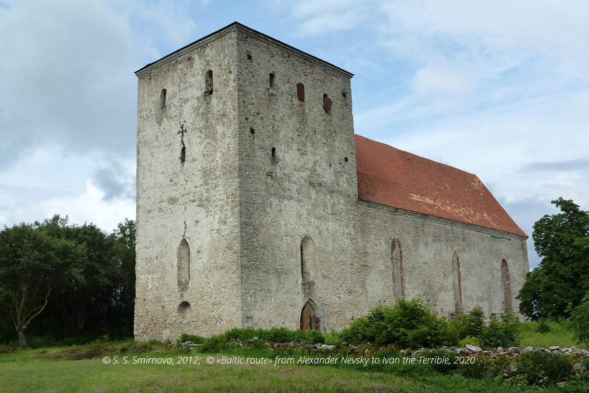
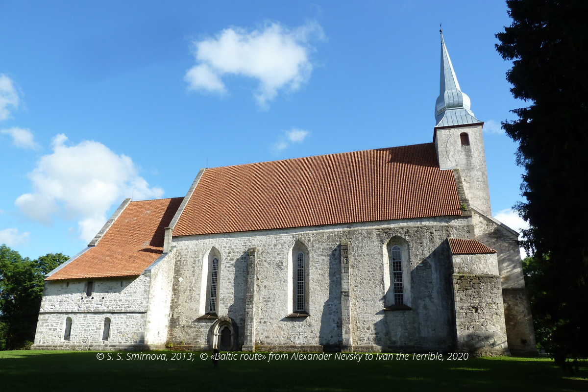
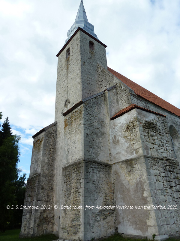
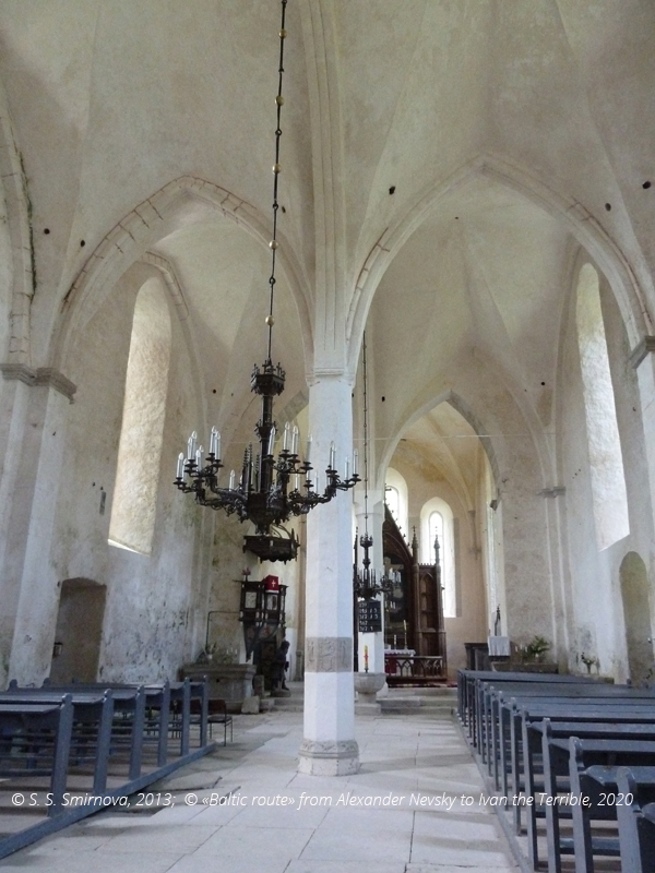
After getting via a bridge and a dam to Saaremaa from Muhu, we will transit Reinu and head for Pöide. Here you will impressed by the solid and monumental St. Mary’s Church (58° 30′ 34″ N, 23° 2′ 56″ E). By 1227, Saaremaa had been conquered by crusaders, yet for suppression of resistance strongholds were needed, and the castle in Pöide was one of them. In 1230, a chapel was added to the stronghold. The fragments of its walls can be seen in the central part of the existing structure. In the late 13th century, the chapel was converted into a fortified church. The church suffered greatly during the mass scale rebellion of pagan Estonians in 1343, as it happened to be in the midst of it. The church was rebuilt in the early 15 century. In the late 19th century, the basement of the castle that had been part of the stronghold was still visible on the surface, as its layout was plotted in 1888, yet it was completely lost.
St. Mary’s Church in Pöide, Saaremaa
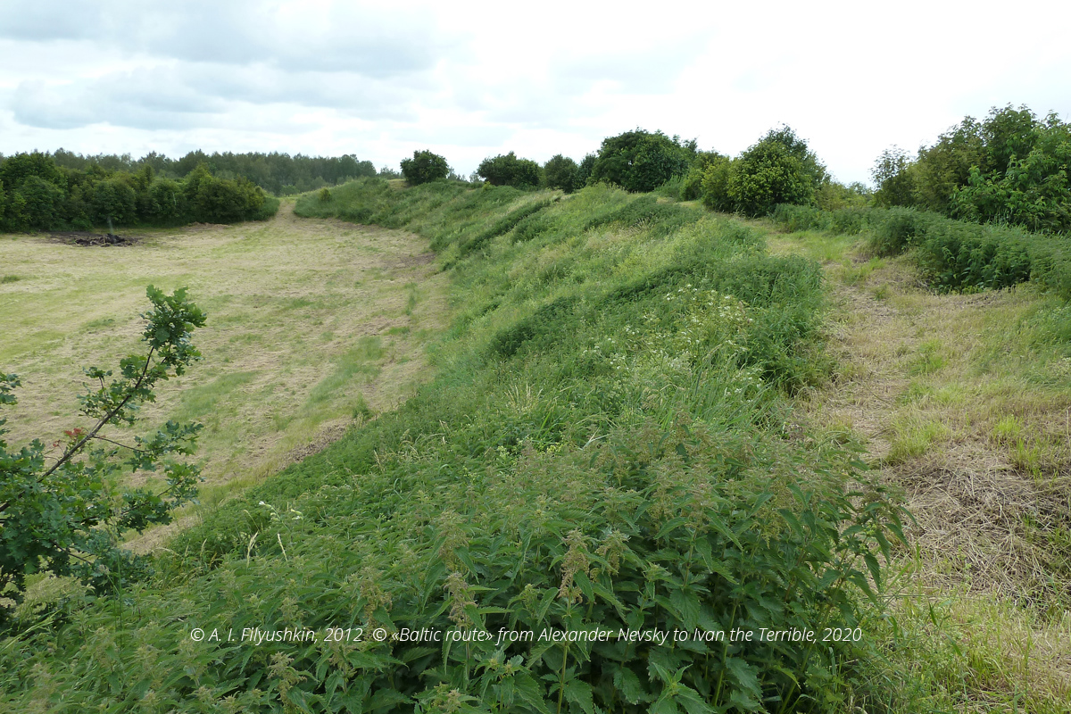
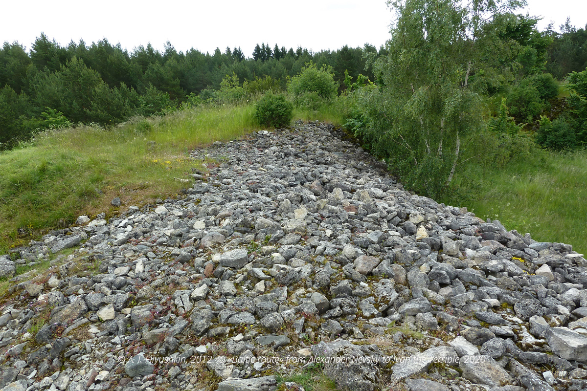
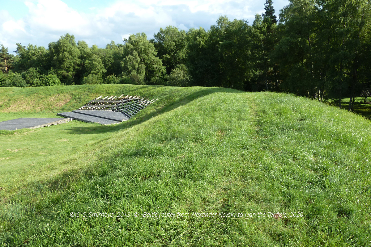
In Kahutsi, not far from the church, an Estonian fortress (58° 30′ 34″ N, 23° 0′ 44″ E) has survived — in the old days it was known as Kahutsi or Iruste. The ramparts of the of the round fortress on a 5-metre hill are padded with crushed rocks. The crusade period history of Iruste is unknown, since the chronicles contain no detailed references to it. The life in Iruste faded away with the arrival of the Teutonic Order.
Iruste — Estonian fortress
Iruste — Estonian fortress, stone filling on the ramparts
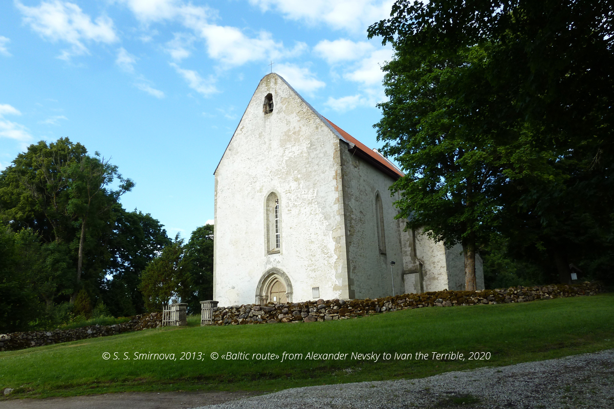
Moving further towards Kuressaare, turn to the right to the west near Ratla in the direction of Karja, where the Church of St. Catherine and St. Nicolas (58° 31′ 24″ N, 22° 43′ 57″ E) is situated. It is a fortified church built by Gotland architects in the late 13th — early 14th century on the site of a wooden church first mentioned in 1254. It suffered a lot during the Estonian rebellion of 1343. Gothic statues and décor have survived, and the interior of this church is considered to be one of the most opulent and splendid in the Baltic region. Probably, such opulence and splendour were intended by the architects to impress Scandinavian pilgrims that stopped here during their pilgrimages. The art of the masters that decorated the church is similar to that of German, Swedish and French masters.
Church of St. Catherine and St. Nicolas, Karja, Saaremaa
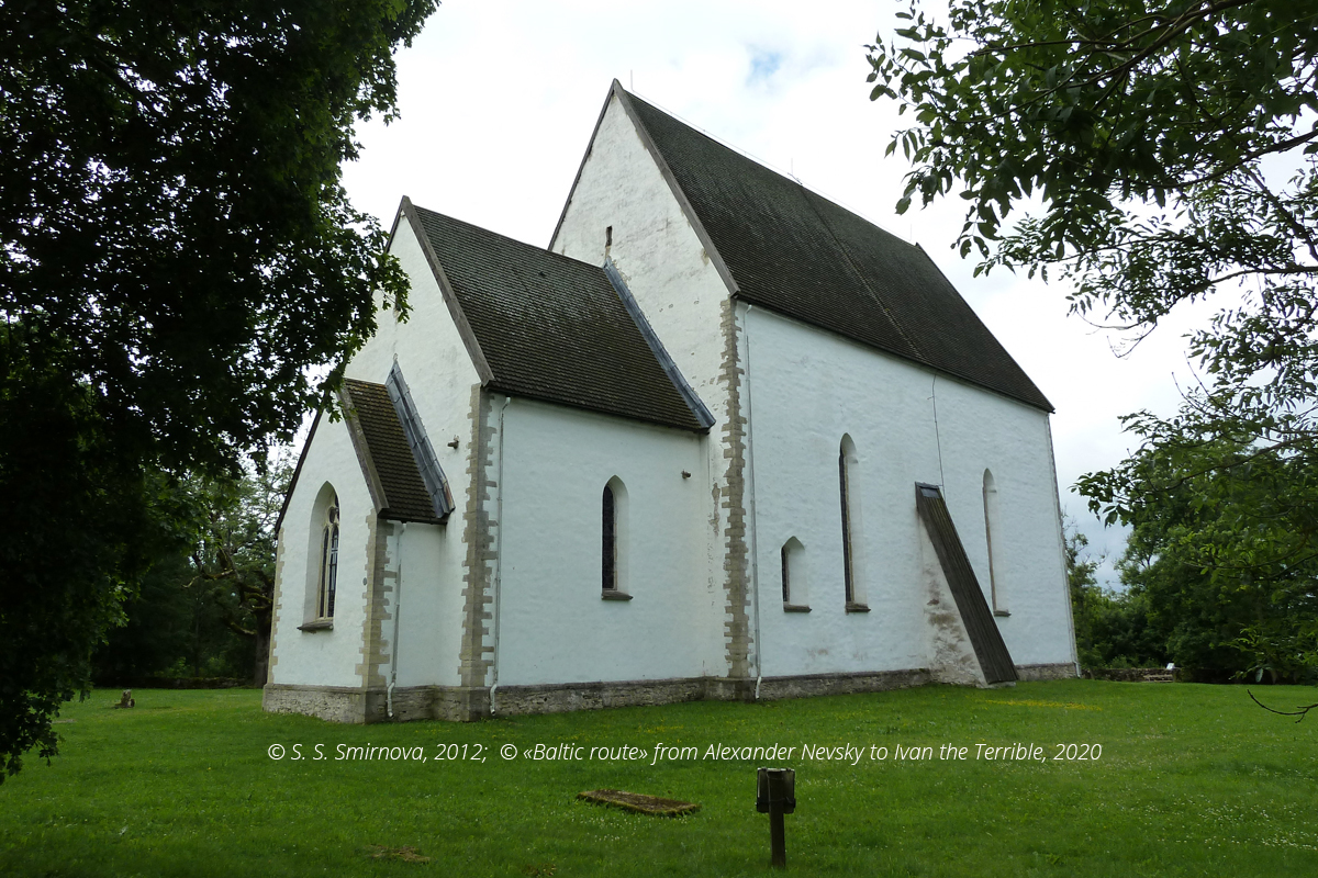
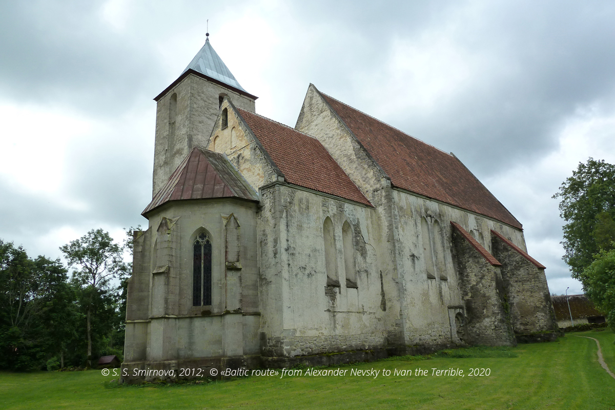
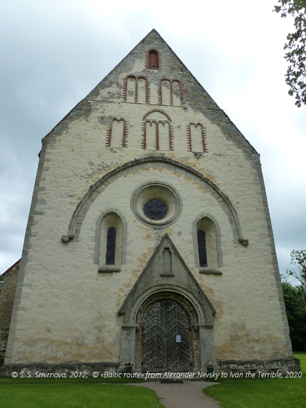
If we return to the major road and head for Kuressaare, we will arrive in Valjala. The knights built a chapel here in 1227 next to an Estonian fortress. After 1240, the chapel was rebuilt to become a fortified church and an outpost of the crusaders in this region. Some masonry work dated the 13th century has survived inside in the area of the choir. This church was dedicated to St. Martin (58° 24′ 29″ N, 22° 47′ 20″ E). Severely damaged during the Estonian rebellion of 1343, it was restored by Swedish masters from Varnhem Abbey. Sub-vault hiding places and fragments of the banquette for defence from enemy attacks have survived.
Church of St. Martin, Valjala, Saaremaa
Church of St. Martin, Valjala, Saaremaa
The church acquired most of its current image in the 17th century. It combines beautiful décor and expression, while its stern vigour symbolizes the history of the crusaders.
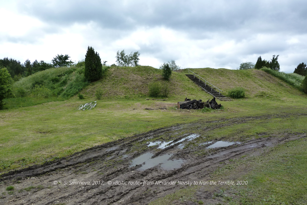
Another old settlement and one of the largest Estonian fortresses on Saaremaa — Valdia (58° 23′ 59″ N, 22° 47′ 40″ E) — is situated about one kilometre away from the church.
Valdia — one of the largest Estonian fortresses on Saaremaa, Valjala, Saaremaa
The crusaders sieged it in 1206, yet were able to conquer it only in 1227 with the aid of stone fougasses. The defeat of this fortress signified the defeat of the entire island. The height of the rock-padded earthwork rampart of this annular fortress achieved 7 m, and the total area of the fortress was round 3,6 thousand sq.m.
The church of St. Peter and St. Paul (58° 20′ 57″ N, 22° 30′ 34″ E) is situated in Kaarma. It was built as a fortified church around 1261 near the ramparts of an Estonian fortress.
The church still features a baptistery dated the 13th century, sculptures dated the 15th century and fragments of medieval frescoes. The destroyed fortress had been known as Karmele Witch (58° 20′ 58″ N, 22° 30′ 52″ E) and used to be quite large (about 4,8 thousand sq. m). It was conquered and destroyed by the Livonian Order in 1261. Probably, the foundation of the church is related to these events.
The church of St. Peter and St. Paul in Kaarma, Saaremaa
The church of St. Peter and St. Paul in Kaarma, Saaremaa
The church of St. Peter and St. Paul in Kaarma, Saaremaa
Estonian fortresses Karmele Witch
Saaremaa (former Ösel) churches are unique monuments built during the first Northern crusades. These monuments illustrate the process of conversion of pagans to Christianity.
First, the crusaders would destroy the stronghold in the heart of a pagan chiefdom. Then, virtually on the same site that had retained its central status a church that would also function as a stronghold would be erected. This way the structure of governance over the area was maintained, although now it was focused in the hands of the new masters and around the new symbols of power. The crusader strategy turned out to be effective, and rebellious attempts to put these symbols of the new order to fire (the major rebelllion took place in 1343) failed to restore the old world. The Order and the Catholic church would stay there for a long period of time, and their rule would remain stable until the 16th century due to Reformation and entry of more powerful external enemies.
A. I. Filyushkin
Tags: routes, 13 century, Teutonic Order (Livonia), The paths of the Teutonic knights: Livonia in the 13th century, Estonia, Baltic region

 English (United Kingdom)
  Russian (Russia)


