 English (United Kingdom)
  Russian (Russia)
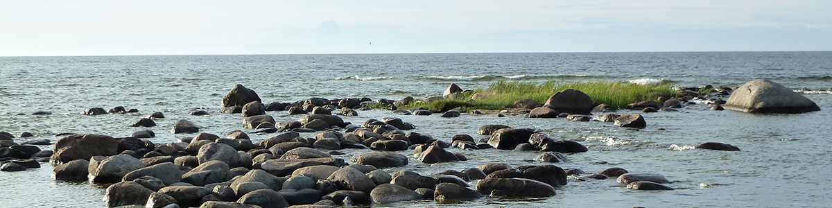


Estonian Hillforts
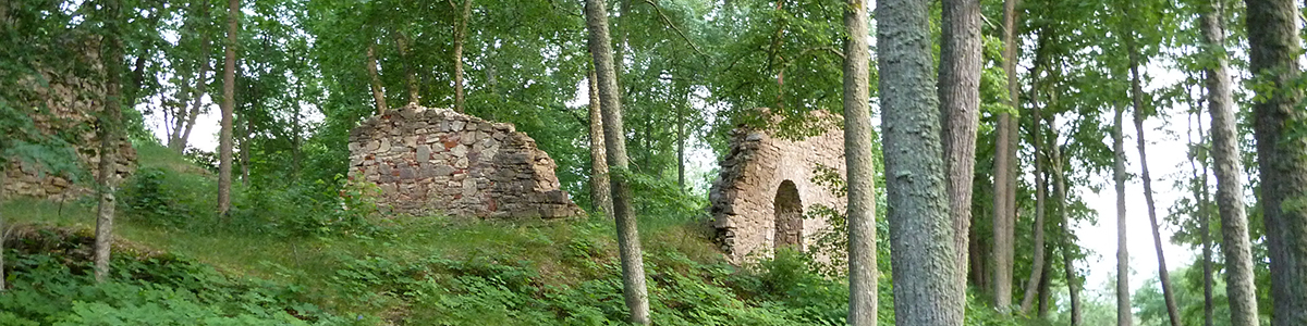
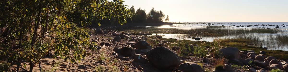
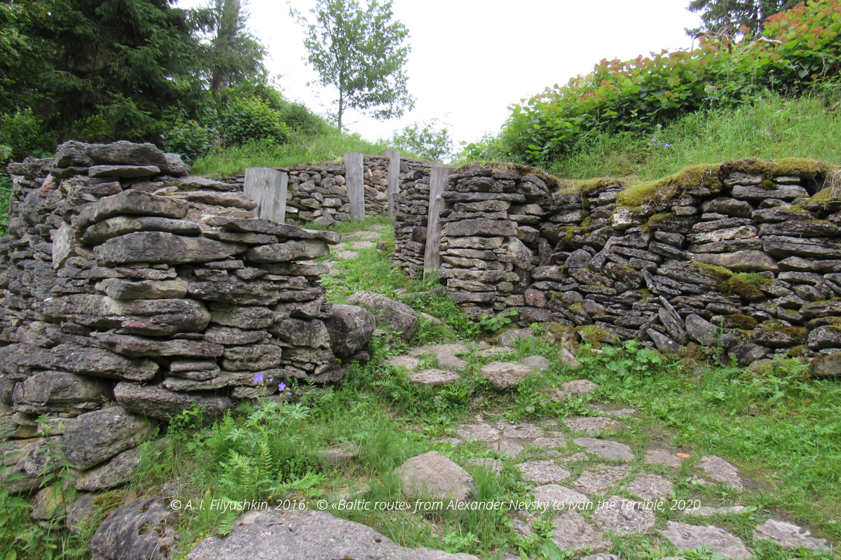
Lõhavere is a hillfort near Suure-Jaani, a town in Estonia (58° 32′ 59″ N, 25° 30′ 55″ E). Earlier it could have been named Leal (Lihula) and performed the function of the centre of Sakala county, the realm of Estonian King Lembitu. This king viewed Christianization of the Baltic territories by both the Orthodox and Catholics as a threat to the sovereignty of the Estonians. His conflict with Pskov in 1211 is mentioned in historical records. In 1215 the Brothers of the Sword took the stronghold and baptised all the captives, whereas Lembitu was taken prisoner. Later on, he allied with the Novgorodians and attempted to continue resistance to the crusaders, yet un 1217 he was killed in the Battle of Viljandi (Battle of Mathew’s Day). In 1969 a monument to Lembitu and his troop named «To Defenders of Sakala in 1217—1223» was erected on the site of Leal hillfort.
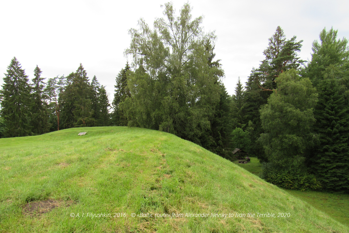
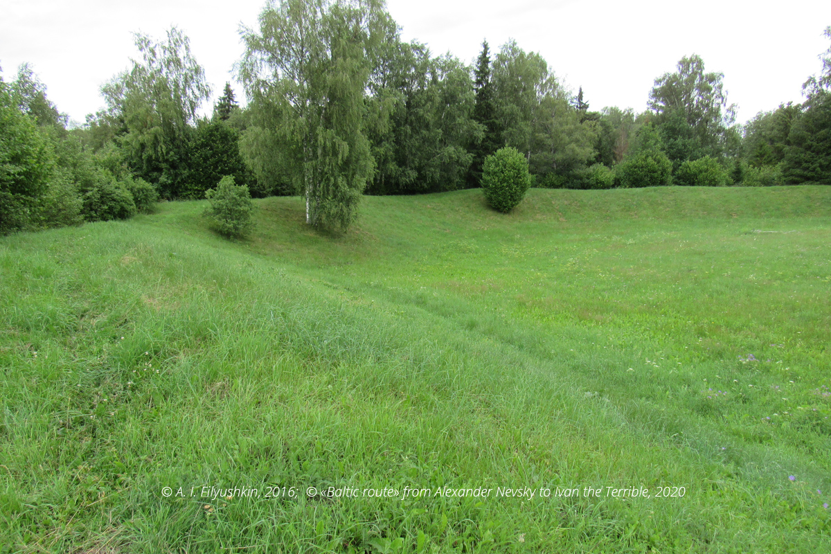
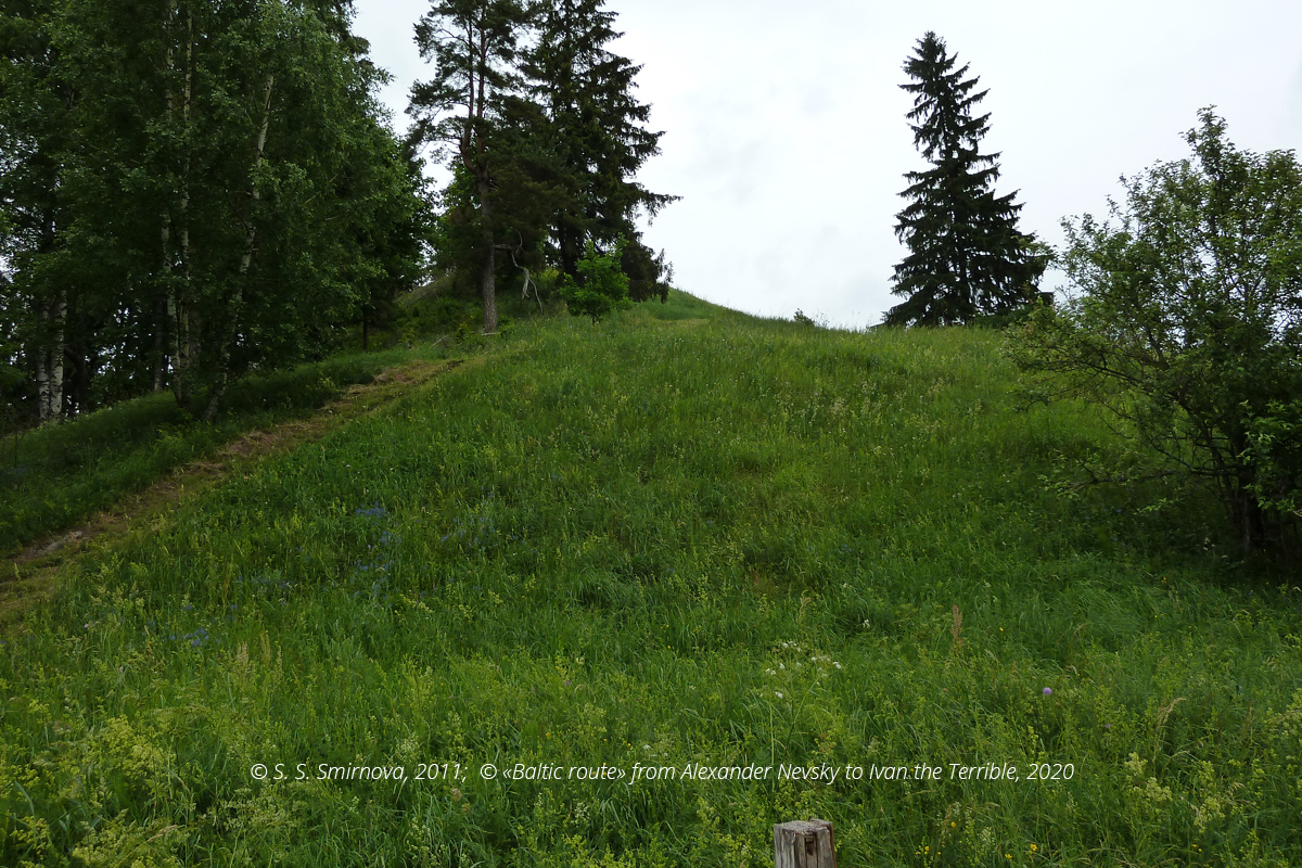
Keava — a «Kalevipoja säng» type Estonian hillfort dated the 9—13th century (58° 57′ 3″ N, 24° 56′ 54″ E) situated near Linnaluste (Kehtna parish (vald), Rapla county (maakond). A wooden castle about 80×80 m in size, surrounded by ramparts and ditches, was built on a hill. Originally it must have been used as a temporary fortified shelter for the local population. Presumably, Keava hillfort is referred to as Kedepiv (Kedempe) in the chronicles relating the events that took place after the death of Yaroslav the Wise. In those days his son Iziaslav was endeavouring to restore control over Yaroslav’s possessions in the areas around Yuryev (future Derpt/Tartu). Around 1059—1061 he attacked Kedepiv, the heart of Estonian resistance. According to archaeological findings, the fortress was rebuilt in the late 11th century, which could mean that it had been damaged during Iziaslav’s attack.
The hillfort must have ceased its existence as a result of the 1224 crusades of the Brothers of the Sword. No separate references to Kedepiv fortress attack are available in records, so it is a mere guess that the Estonians abandoned it because of the threat of crusades. The topmost stratum of the stronghold shows traces of fire, yet it is unclear whether it was set to fire during an attack or after it had been abandoned.
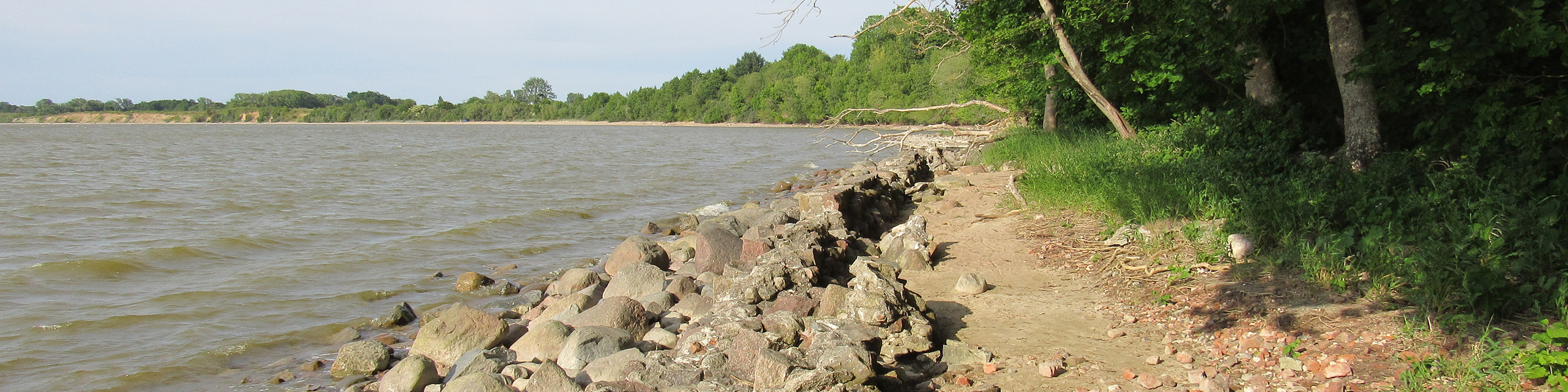
Lohu is a hillfort on the Keila, a river flowing near Lohu village in Rapla parish (maakond), Kohila county (vald) (59° 8′ 32″ N, 24° 46′ 55″ E), close to Rapla — Tallinn road. This site consists of two fortified settlements separated by the river. The fortress used to function as the centre of the Estonian chiefdom and was referred to by the Germans as Harrien (Harjumaa in modern Estonian). According to Henry of Latvia, its previous name was Lone. Conflicts between the Estonians and Brothers of the Cross took place around Lone in 1216—1220, yet the fortress survived. The crusaders were able to take it only after a fortnight-long siege in 1224. The Estonians defended themselves in this hillfort during St. George’s Night uprising against the Germans in 1343.
Varbola is an annular layout Estonian fortress dated the 10—13th c. It is surrounded by an 8—10 m high rampart padded with crushed limestone around the entire circumference (580 m). The fortress is situated near Rapla – Varbola road in Põlli village (Märjamaa parish (vald), Rapla county (maakond), 59° 2′ 23″ N, 24° 30′ 38″ E).
In 1211 the fortress was sieged by the troops of Novgorodian Prince Mstislav Mstislavich. In Russian chronicles it is referred to as Vorobyiny Nos (Sparrow Beak), while in German chronicles it is referred to as Warbole. The citizens bought Mstislav off, yet in 1212 crusaders ― first Teutonic, and later Danish ― began to attack Varbola. The citizens agreed to the terms set by the Order of the Brothers of the Sword and were baptised, while the fortress was partially surrendered to the knights (the King of Denmark became Varbola landlord). This step saved the fortress, and it existed as an Estonian settlement until the 14th century. In 1343 Varbola fortress became the centre of resistance during the St. George's Night uprising. After the rebellion had been put down, the settlement decayed, and in the 16—17th c.c. the site was used as a rural cemetery.
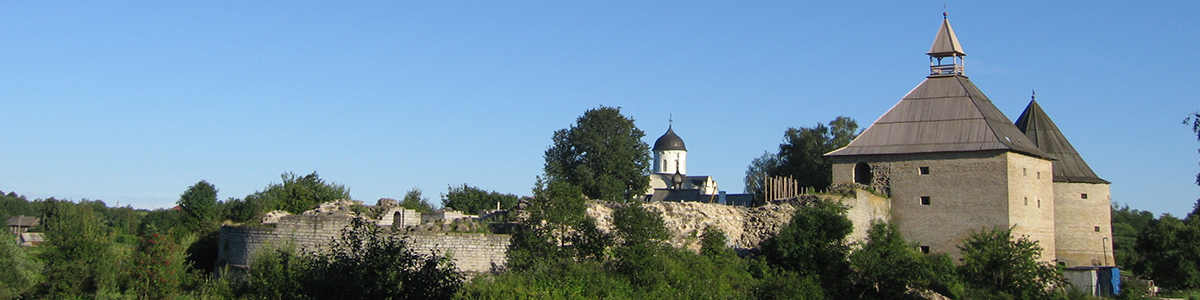
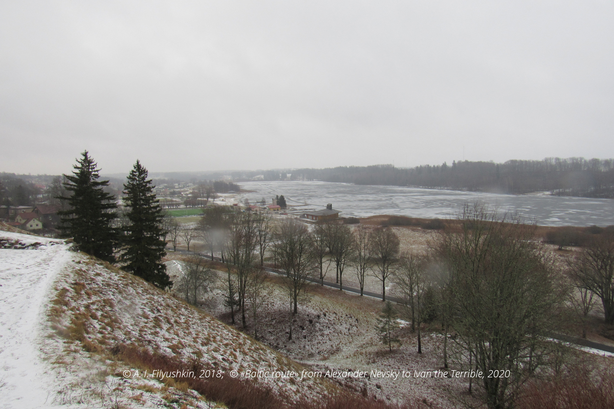
Odinpe is an Estonian stronghold situated on a high hill and resembling the head of a couching bear (hence, its German name Odinpe, or Medvezhya Golova (Bear's Head) in Russian chronicles). It is situated near Tartu — Valga road on the outskirts of the modern town Otepääа (58° 3′ 27″ N, 26° 30′ 15″ E). It had been used as a fortified shelter since the Iron Age and developed into a town with suburbs by the 11th century. Since the fortress "barred" the major routes from the South and South-East into the heart of Estonian territories, it was frequently attacked by the Novgorodians. It is first mentioned in 1116 in association with the Odinpe campaign of Prince Mstislav Vladimirovich, a son of Vladimir Monomach. The town was taken by storm during that campaign. In 1192 the troops of Novgorodian Prince Yaroslav Vladimirovich put the town to fire, and in 1208 the knights of the Order of the Brothers of the Sword and Bishop of Riga arrived there. Control over Odinpe meant control over an extensive territory, and for this reason struggle for the fortress evolved between Novgorodian princes and the Orders of the Brothers of the Sword in 1210—1223. Several attempts to take the fortress by storm were made. Eventually, the Germans won, and in 1224 Odinpe became tenure of the Bishop of Dorpat. In 1225 the bishopric castle was built next to the Estonian stronghold. It was the first brick fortress in the region, and its ruins still crown the hill. During the Estonian uprising of 1343 it was the headquarters of the Bishop of Dorpat and Livonian knights who coordinated the suppression of the uprising.
Apart from being a historical monument of Northern Crusades, Odinpe is also an evidence of the complicated relations between the Livonian Order and the episcopacy. The castle was demolished by the Livonian knights in 1396 during an internal war in Livonia and has never been restored.
Archaeologists have found a remarkable artefact among the castle ruins. It is a firearm that could be one of the earliest specimens of firearms in Europe if dated the end of the 14th century (sometimes it is mentioned as «the first firearm»).
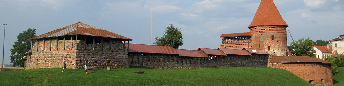
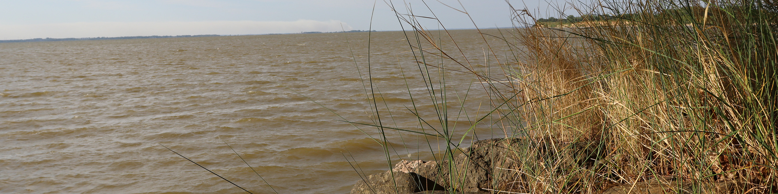
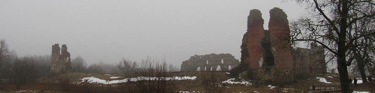
Viljandi is an Estonian hillfort dated the 12—13th century situated near a homonymous modern town above a homonymous lake (58° 21′ 15″ N, 25° 35′ 45″ E). Once it was the centre of the chiefhood of the tribes that populated Sakala county. The Order of the Brothers of the Sword intruded here in 1211. The first attack was repelled, yet the Germans began converting the local population to Christianity. On 21 September 1217 a major battle between Estonian tribes from Revala, Rotalia, Harien, Vironia, Gerven and Sakala on the one part, and troops of the Order of the Brothers of the Sword, a force of German knights from Teutonic lands, troops of the Bishop of Riga and crusader allies — the Latgalians and the Livonians — on the other part, took place. This battle is known as the Battle of St. Matthew's day and considered to have been the crucial point in the history of Northern Crusades. The crusaders won this battle, and Lembitu, the leader of Estonian resistance, was killed. Traditionally, the site of the battle is associated with Tammemägi hill (north of modern Viljandi, now Hiiemägi (Vanamõisa), Viljandi parish, 58° 26′ 17″ N, 25° 30′ 2″ E). Legend has it that Lembitu was buried there, yet no archaeological evidence of this fact is available.
It is notable, that in the 16th century Danish knights also took part in the Battle of Viljandi. It was then that a flag with a cross descended on them from heaven (a Viljandi version of the Danebrog legend). In Vanamõisa village, the ruins of the Chapel of the Holy Cross have survived. As legend has it, after the battle a chapel was built on the site where the flag descended from heaven (although, this legend is dated later). From archaeological standpoint, the chapel is dated the 15th century. This story is an example of political fictions the crusaders used to lay claims to these territories even much later after the conquest.
In 1223 the Estonian stronghold in Viljandi was taken by the crusaders of the Order of the Brothers of the Sword, and in 1224 the Teutons began the construction of Fellin castle, which later became the quarters of the Livonian Master and one of the largest Livonian fortresses symbolizing the power of the Order.
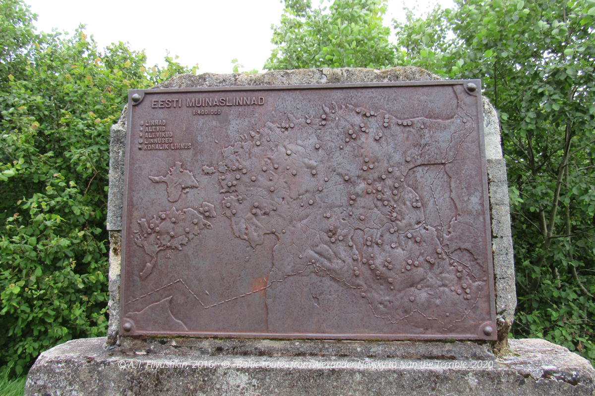
Estonian Hillforts, map:
A. I. Filyushkin
Tags: routes, places of memory, 13 century, Teutonic Order (Livonia), The paths of the Teutonic knights: Livonia in the 13th century, Estonia, Baltic region