Lohu
59 ° 8 ′ 32 ″ N, 24 ° 46 ′ 55 ″ E
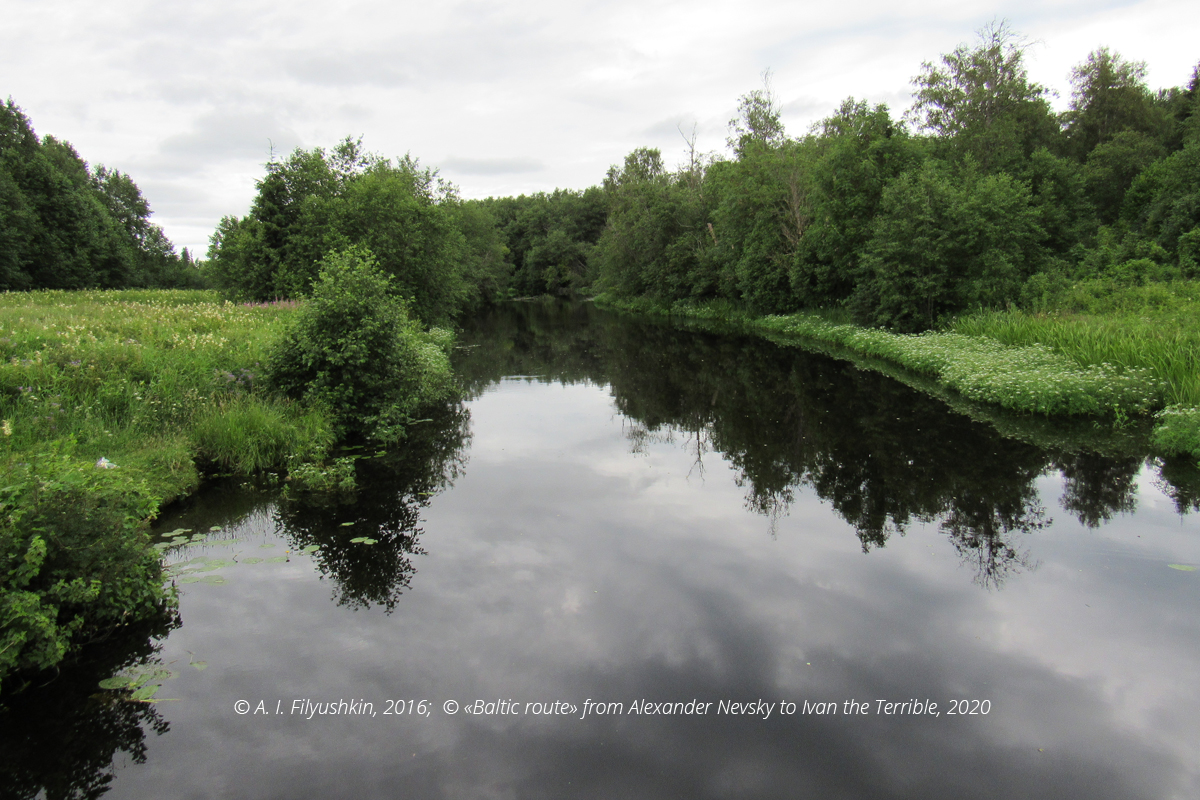
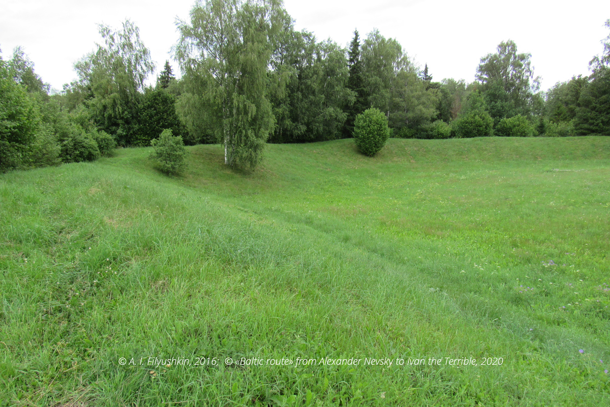
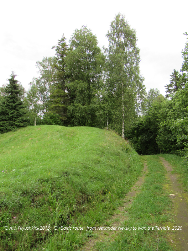
The hillfort consists of two fortified settlements separated by a river. The fortress was the center of the Estonian chiefdom in the area that the Germans called Harrien, and the modern Estonians called Harja. According to Henry of Latvia, it was called Lone. In 1216-1220 around Lone there were fighting between Estonians and crusaders, but the fortress held out. It was taken by the knights only in 1224 after a two-week siege. In 1343, the revolted Estonians defended themselves on the place of the ancient hillfort during the uprising of St. George against German rule. Today the hillfort is located on the river Keila near Lohu village in valde Kohila in Rapla maakond, not far from the Rapla-Tallinn highway.
Tags: castles and fortresses, 13 century, 14 century, Teutonic Order (Livonia)

 English (United Kingdom)
  Russian (Russia)


