 English (United Kingdom)
  Russian (Russia)
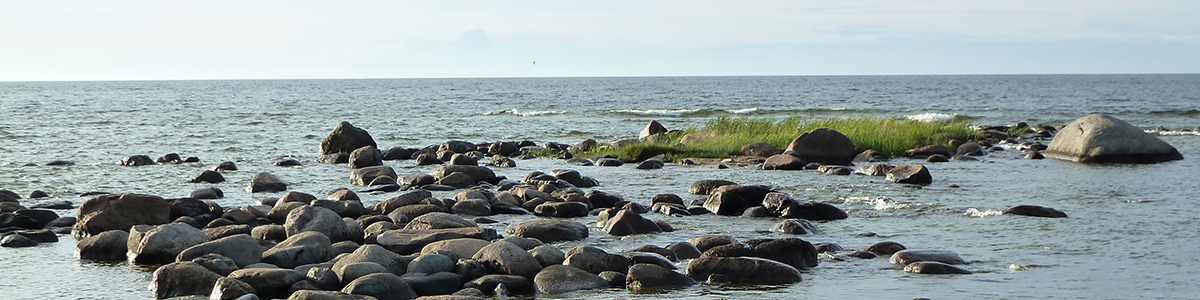


Crusade era monuments in Northern Estonia
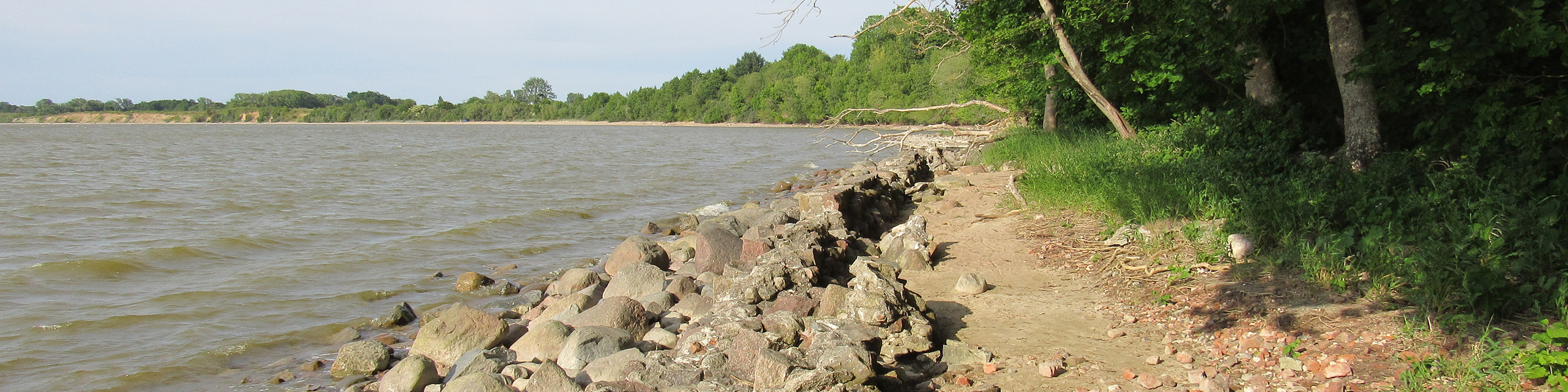
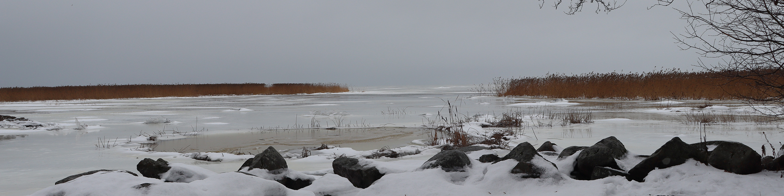
In pre-crusade days the land in the north of modern Estonia was known as Revala. In the 10-12th centuries, an Estonian fortress was situated on Toompea hill (59° 26′ 07″ N, 24° 44′ 22″ E) in the centre of Tallinn, the capital of modern Estonia. One can only guess whether this was a permanent settlement or a fortress that sheltered the local population in case of danger. In the chronicle of Henry of Latvia this fortress referred to as Lindanise. Today Toompea hill is an urban area, and only the outline of its limestone downslop allow to make assumptions as to what the medieval landscape could have looked like.
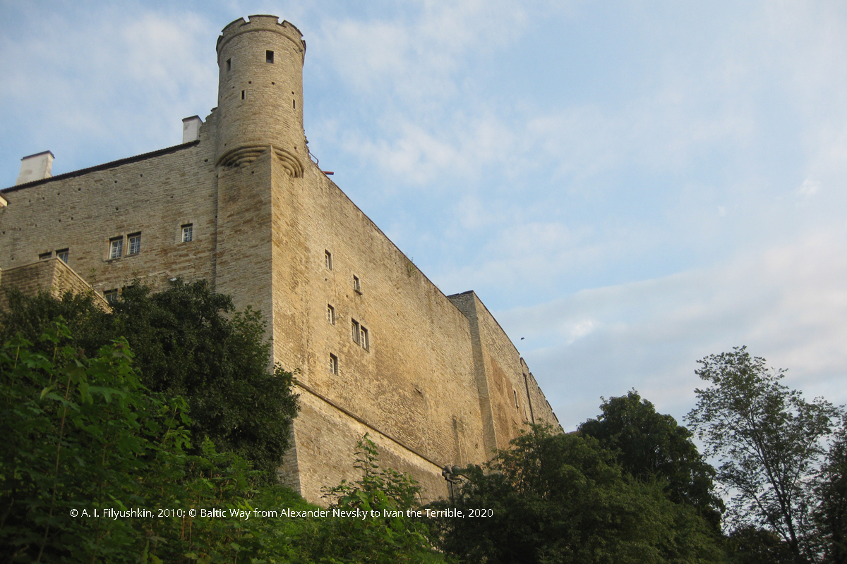
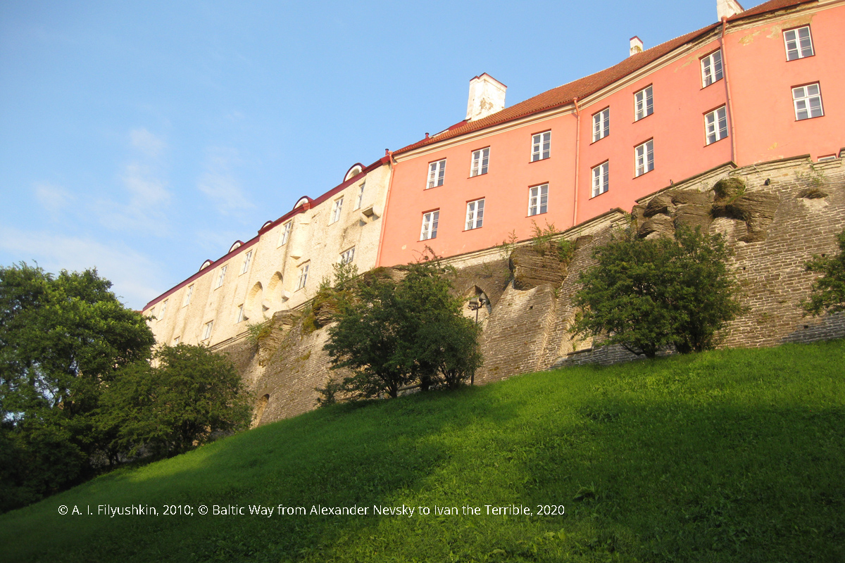
Tallinn, Toompea hill
Probably, several settlements or trading posts existed in the area of modern Tallinn, specifically, a Scandic trading post was situated in the area where Oleviste, i.e., St. Olaf’s church (59° 26′ 29″ N 24° 44′ 52″ E) was built later.
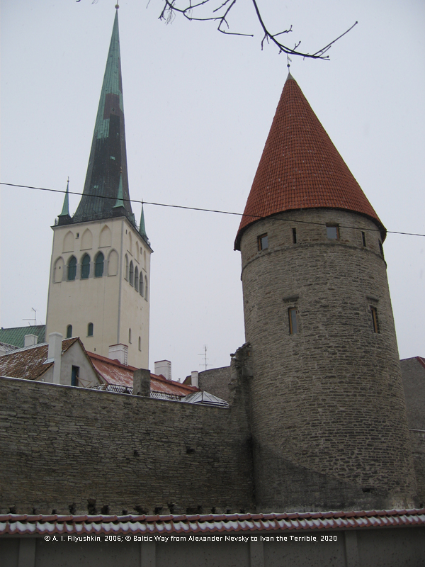
St. Olaf’s church
In the 13th century, Danish crusaders followed German crusaders to Northern Estonia. Troops at the command of Valdemar II of Denmark landed there in 1219. Among the commanders were also Albert I, Duke of Saxony, and Vitslav I, Prince of Rugen. On 15 June 1219, the Battle of Lyndanisse took place. It ended in the victory of the Danish over the Estonians and signalled the establishment of the Danish rule over Northern Estonia. The exact site of the Battle of Lyndanisse is unknown, yet it is obvious that the battle must have taken place somewhere near the existing Toompea hill. The conquerors built their own wooden castle on Toompea hill on the ruins of the Estonian fortress. It is obvious that no traces of this castle have survived, yet numerous local legends originate from the events of 1219.
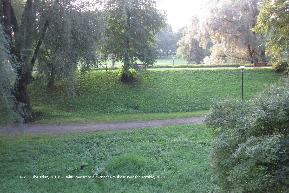
The valley at Toompea hill. This is a possible spot of the battle
As legend has it, a red banner with a white cross appeared in in the sky above the fighting Danish crusaders and Estonian warriors. Thankful King Valdemar treated it as a good miracle and announced this heavenly gift the national flag of Denmark Dannebrog. A commemoration place appeared here later — the so-called Danish King’s Garden (59° 26′ 08″ N 24° 44′ 27″ E, a park at the intersection of Lühike jalg and the stairway descending from Rüütli street, that borders with the castle wall with Maiden’s Tower, Kiek in de Kök Tower and Talli Tower). This is where King Valdemar and his troop purportedly took rest after the battle. Today tourists can see a symbolic iron stylized iron statue of a knight with the Danish flag. Dannebrog celebrations take place in this garden. As legend has it, the flag descended from heaven in this particular place, although neither accurate references to the site of the battle, nor its archaeological evidence exist.
Danish King’s Garden
According to one of the versions, the name Tallinn originates from the castle built by the Danes on Toompea («Danish castle» — «Taani-linn»). According to another legend, the starving Danes and their king started hunting local roe deer that dropped off a high rock, trying to escape the arrows. Deer drop is translated into German as «Rehfall» («deer drop»). In commemoration of this hunt, the King Valdemar granted the city its medieval name, i. e., Revel. In Lai street running at the foot of Toompea you can see a roe deer statue erected by Jaan Koort as an illustration to the legend. Another version associates the origin of the name Revel with the old name of this land — Rebala («land inhabited by many foxes»).
The last myth about Toompea hill is dated the 19th century and related to the literary adaptation of narrations about the Estonian giant hero Kalevipoeg. Toompea was announced the stone tomb of Kalevipoeg’s father — giant Kalev — built by his widow Linda (an evidence of the legend was seen in the similarity of the name Linda to the name of Lindanise fortress). In 1920, a monument to Linda was erected on the Swedish bastion, and the bastion was renamed to Lindamägi park (59° 26′ 2″ N 24° 44′ 12″ E). The Russian name of Revel/Tallinn — Kolyvan — was interpreted as Kalevan linna — Kalev city.
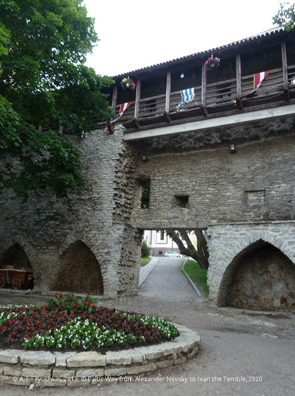
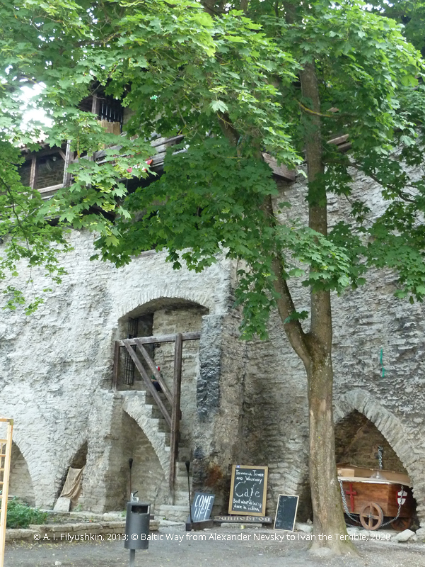
Have any traces of 13th century crusades survived on Toompea, or only later symbols of legends and myths exist there? The Brothers of the Sword arrived here in 1227 and forced the Danes out temporarily (Revel was returned to Denmark under the Treaty of Stensby (1238) and remained part of the Dutch realm until 1346). They built a 140 by 50 metres rectangular stone castle with a watchtower in the south-eastern corner by 1229 in the southwestern part of the hill. Some of the fragments of its ancient walls have been integrated into the masonry work of Toompea castle in the 14—15th centuries.
The castle of the Brothers of the Sword was referred to as the Small Castle. The rest of Toompea hill was referred to as the Larger Fortress, and a wooden church must have been erected concurrently with the foundation of the Small Castle by the Danes in 1219. After the German invasion of 1229, Domenican friars were granted permission to build a stone church here. This church is associated with the story of the so-called «Bloodbath», i.e., attack of the Danes by the Brothers of the Sword in 1223. The Danes were killed and their bodies were piled in the church. A complaint about this crime was dispatched to the Pope. The Danes that returned here completed the construction of the church in 1240 and upon the order of King Valdemar II it was consecrated as cathedral church of Holy Virgin Mary. Today it is the famous Dome Church of Tallinn (59° 26′ 13″ N 24° 44′ 19″ E). It was completely rebuilt in the centuries to follow, so that just some fragments of the internal masonry of the choir survived (and, presumably, some tombs inside the church).
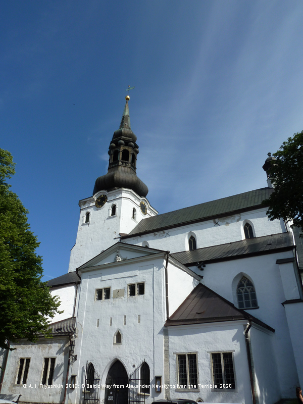
Dome Church of Tallinn
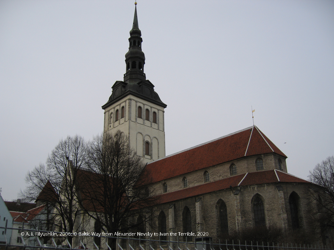
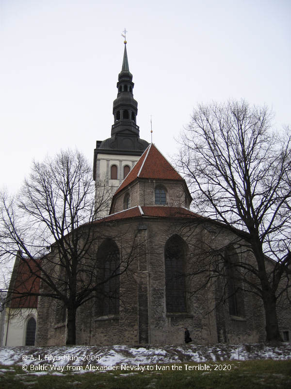
Another Tallinn church — Niguliste, i.e., the church of St. Nicolas (59° 26′ 9,3″ E 24° 44′ 33,9″ E) is dated the 13th century. Around 1230, the Brothers of the Sword invited two hundred German merchants from Westphalia and Lower Saxony for the development of Revel. They settled near the modern ascent onto Toompea — Lühike jalg. The merchants needed a church, so shortly after arrival they started building one. This church was fortified and additionally served as a defence facility. It was dedicated to St. Nicolas, the patron saint of merchants and sailors. Not only did some fragments of the original structure survive beneath the floor of the existing church: scholars believe that the northern and southern portals of the existing Niguliste Church are dated the late 13th century. Presumably, the completion of the church can also be dated this period (it is first mentioned in 1315). Niguliste Church was rebuilt multiple times in the 14—20th centuries, yet some fragments of the original medieval church have survived. It is rather a monument to colonization of Northern Estonia by the Germans than to crusades.
Niguliste Church
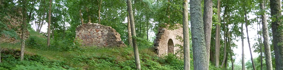
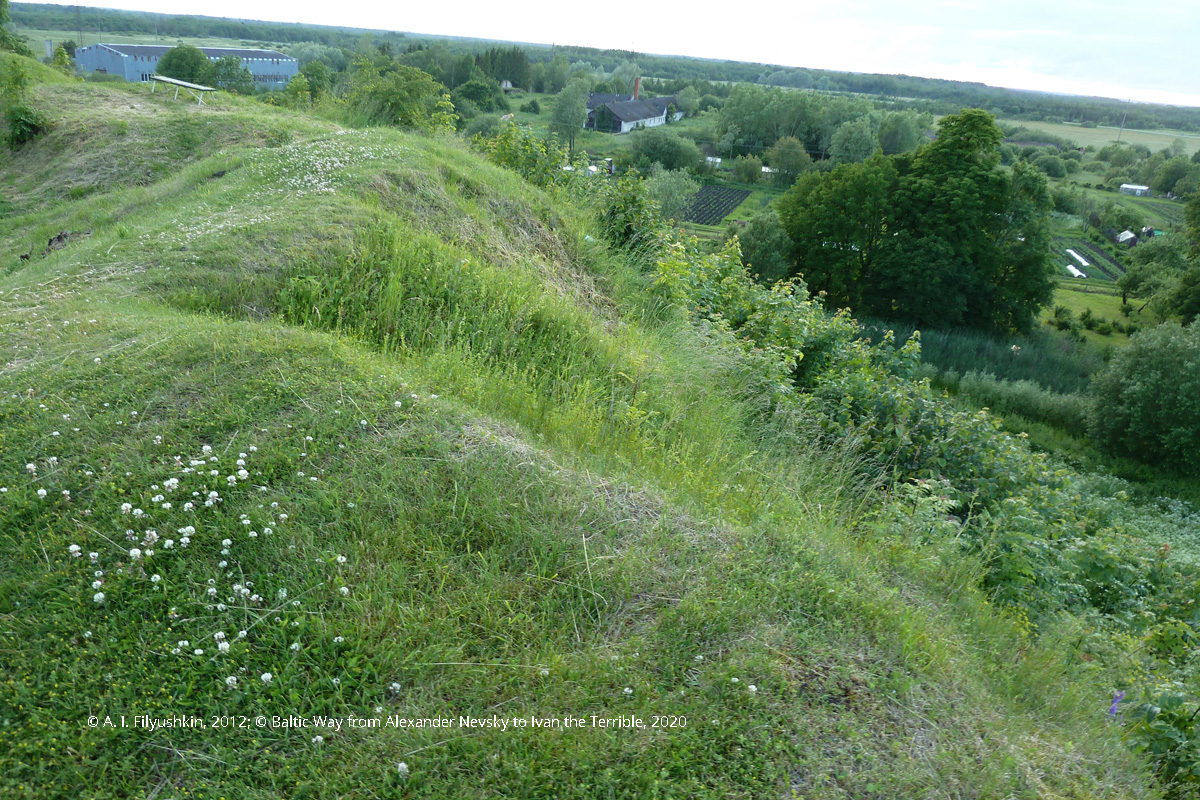
Among old monuments of the first crusades in Northern Estonia two items are worth noting. One of them is Vanalinnamägi fortress on the Kloostri (59° 13′ 8″ N 24° 8′ 31″ E), also known as «The Hill of the Old City».
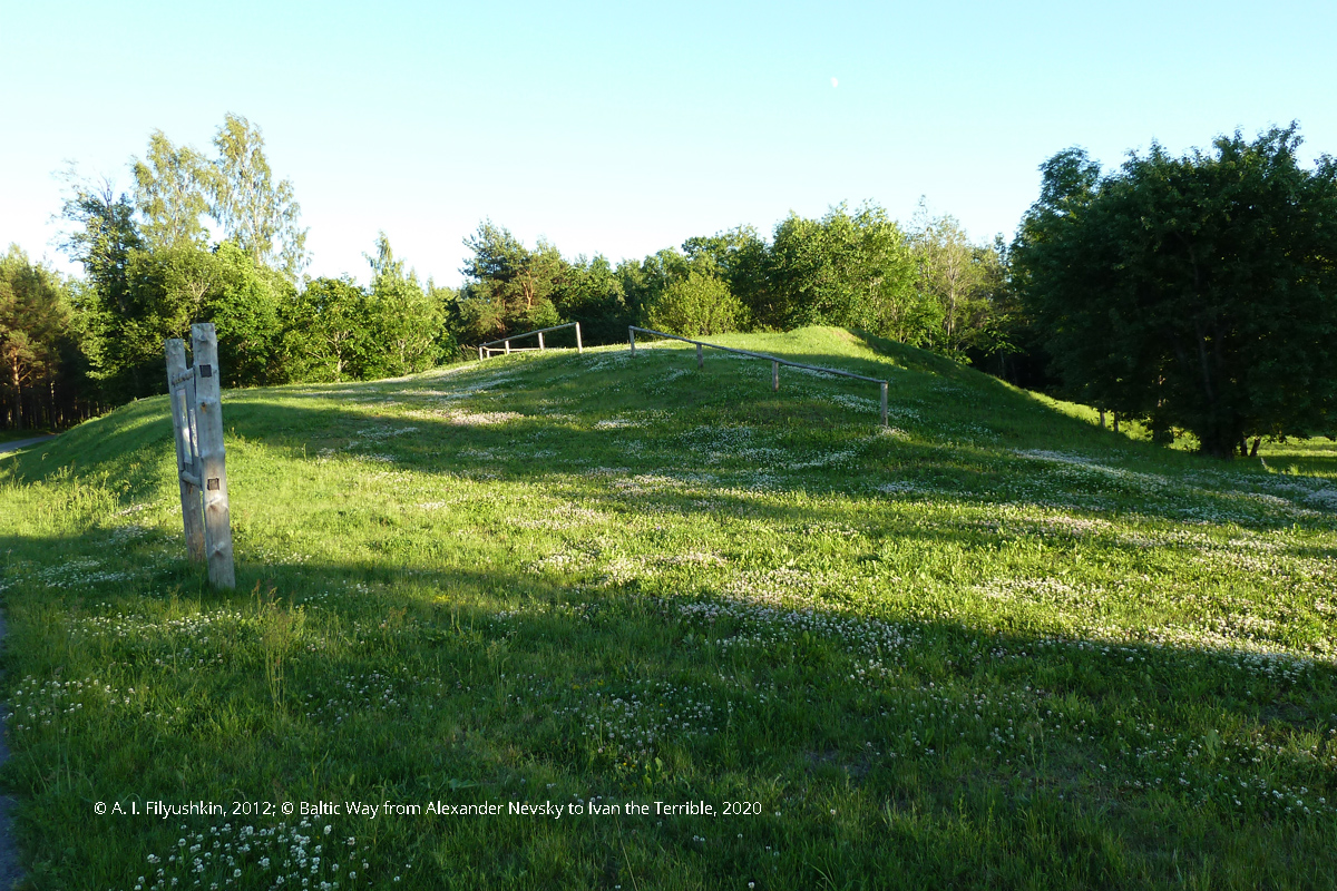
Vanalinnamägi
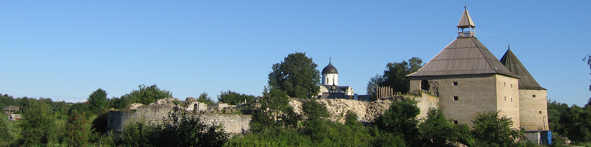
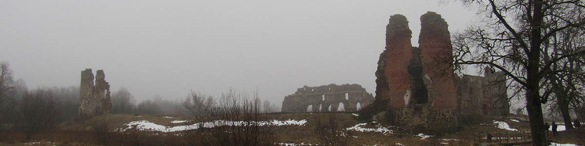
It used to be a fortified settlement where the local population sheltered in the 11-13th centuries from attacks. The ruins of a catholic monastery are situated one kilometre away from it (i.e., here we see a model similar to Saaremaa — a destroyed pagan fortification and a church near it). The history of Padise monastery goes back to the 13th century when Cistercian friars from Dünamünde (modern Riga) were bestowed some land along the Kloostri. A chapel was built here around 1250 (according to other sources in 1280). In 1305, the Dünamünde monastery was dissolved, and in 1317, King of Denmark Erik permitted the Cistercians to build a new stone monastery in Padise on the site of this chapel (59° 13′ 40′′ N 24° 8′ 27′′ E). The construction proceeded slowly — the buildings of the monastery had been demolished during the Estonian rebellion of 1343. The existing ruins of the monastery are mostly dated the 16th century and are rather associated with the Livonian War.
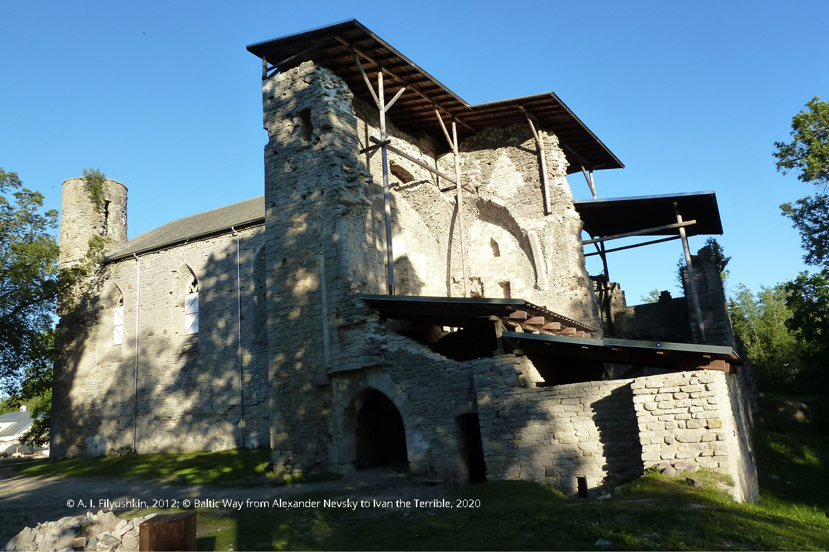
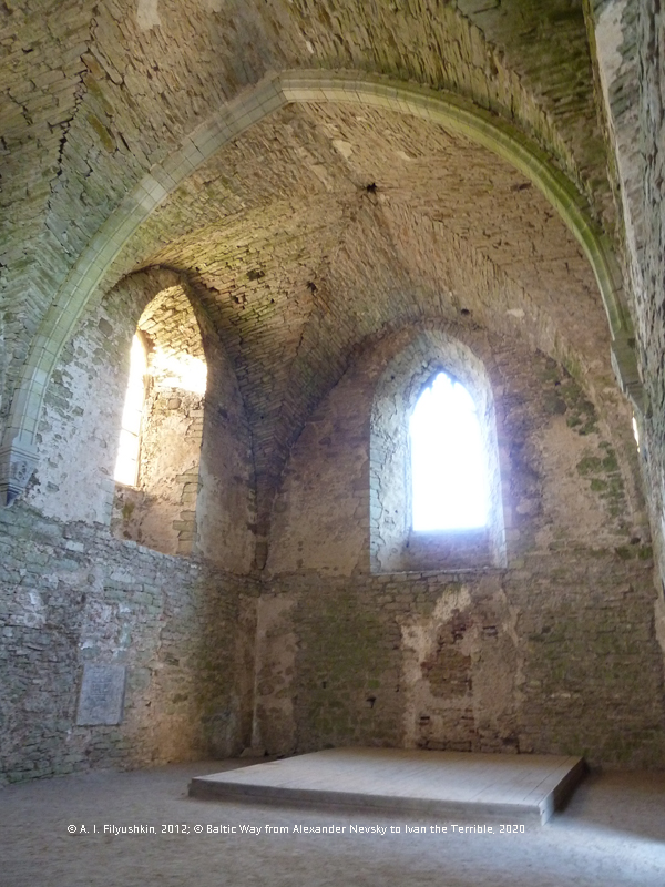
Ruins of monastery in Padise
In 1228, the Bishop of Riga Albert von Buxthoeven established a new see that controlled the lands on Ösel (modern Saaremaa), Dagö (modern Hiiumaa), Saaremaa and in Vick (modern Läänemaa). In 1234, the residence of the Bishop of Ösel and Vick was situated in Leal Castle (modern Lihula, 58°41′39″ N 23°50′19″ E). A stone fortress was built around 1238—1242 on the site of the conquered Estonian fortress. Only ramparts and ruins of castle walls have survived (mostly dated the 16th century).
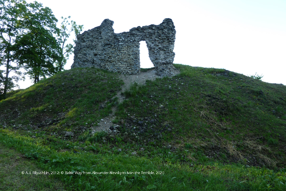
Leal Castle, ruins
The Bishop shared Leal castle with the Livonian order, which was inconvenient for both parties. For this reason, the see was moved to Hapsal castle (modern Haapsalu 58°56′50″ N 23°32′19″ E). A large Cathedral of St. Nicolas — the largest single-nave medieval Baltic church with an area of over 400 sq.m. As most churches in those days, this cathedral was fortified and intended for defence. It was rebuilt in the 14—15th centuries, although layout of the original structure was mostly preserved.
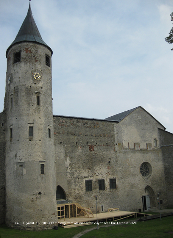
Hapsal castle
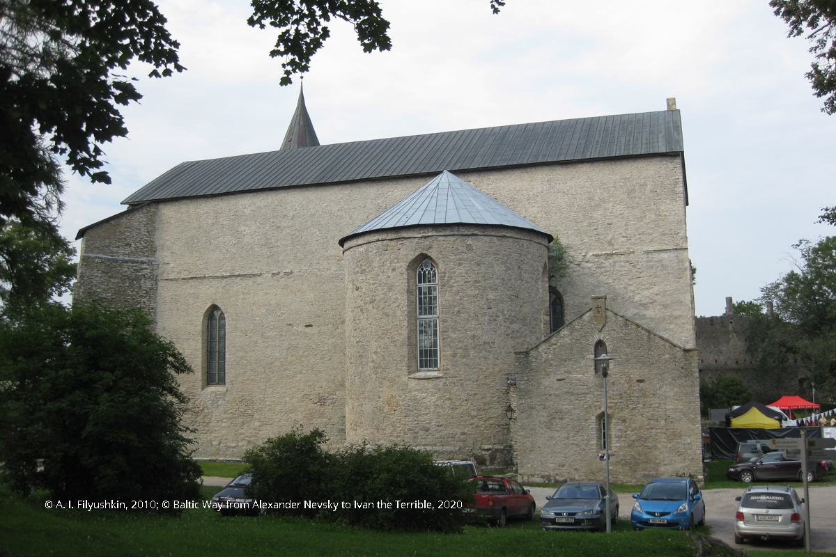
Hapsal Cathedral of St. Nicolas
Associated with Hapsal Cathedral of St. Nicolas is the legend of the White Lady, which originated later and exists in several versions. A story about the tragedy of a young girl that fell in love with a canon (or a vassal knight of the bishop) is common for all the versions. The girl would disguise in boy attire and sing in the church choir, but eventually she was caught. The man was executed (starved to death in prison), and the girl was buried alive inside a chapel wall (or inside a castle wall). Her soul cannot find peace, and at the time of the full moon in August the shadow of the White Lady appears on the chapel wall.
A. I. Filyushkin
Tags: routes, 13 century, Teutonic Order (Livonia), The paths of the Teutonic knights: Livonia in the 13th century, Estonia, Baltic region, Memory places of the Crusader era in Northern Estonia