 English (United Kingdom)
  Russian (Russia)
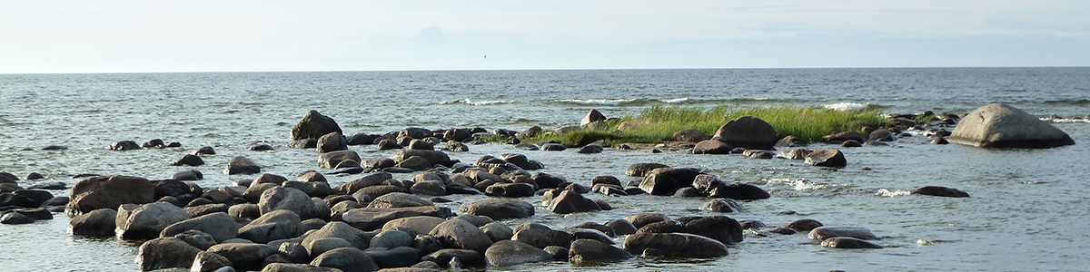


Many generations of the descendants of those who fought at the Neva and Lake Peipus remembered the victories of Alexander, who wascanonizedsoon after his death.
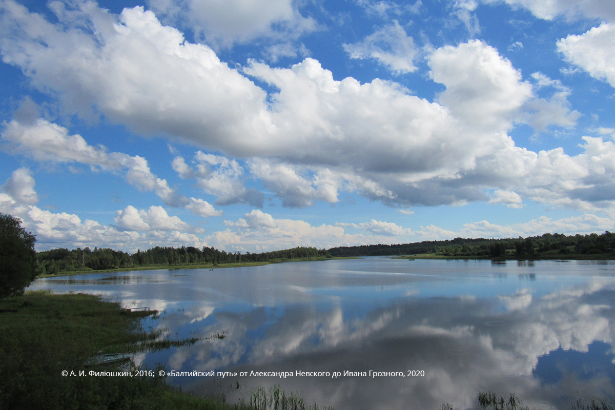
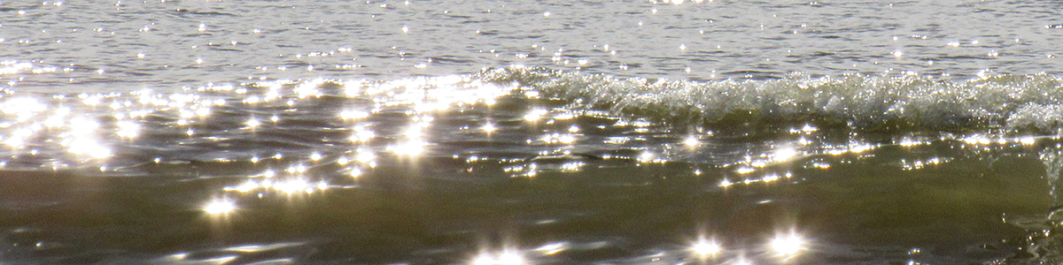
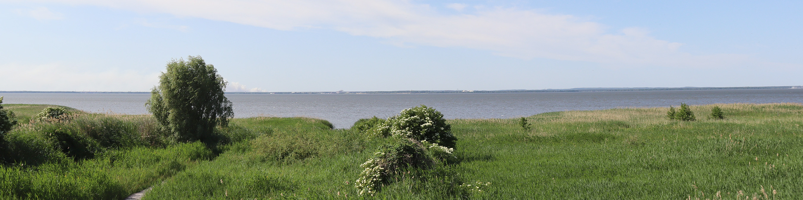
Lake Peipus (Chudskoye ozero)
The stranger it may seem that for a long time the historians did not give much thought to where the Battle on the Ice actually took place. ‘... At Chudskoye Lake, at Uzmen, at Voronijstone’, this chronicle record was considered sufficient, and only in the late 19th century the first hypotheses concerning the exact place were proposed. The cited words from the chronicle were naturally taken as a starting point.It should be noted that the initial hypotheses were not confirmed by any location research. As additional material, scholars used only maps, toponym etymology theories and, at best, the local legends.
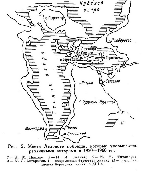
The first to make more of less clear (though still quite general) statement about the subject was N. I. Kostomarov, who believed that the battle took place ‘at the turn from Lake Pskovskoye to Lake Chudskoye’ and called the chronicle’s Voroniy stone a rock. Twenty years later, the expert on the Pskovian Land I. I. Vasiliyev identified— without making any arguments — the Voroniy stone with the uninhabited Matikov Island at the western shore of Lake Pskovskoye. Yu. Trusman took a more thorough approach. He additionally analysed the chronicler’s words concerning the ending of the battle: ‘and pursued them, and beat them for seven versts on the ice to the Subolichsky shore’ and identified the Sobolichsky shore with Soboliz — aplace mentioned in the Livonian acts, and the Voroniy stone — with the village of Vranja (near which, he says, there is a ‘huge stone’ in the lake). This allowed him to ‘place’ the battle in seven versts from the Emajõgi mouth. The historian did not explain, how the Soboliz of the German authors turned into the Sobolitsky shore, and the later in-situ investigation revealed no large stones or rocks.However, the significance of Trusman’s work was great, as it prompted new search.
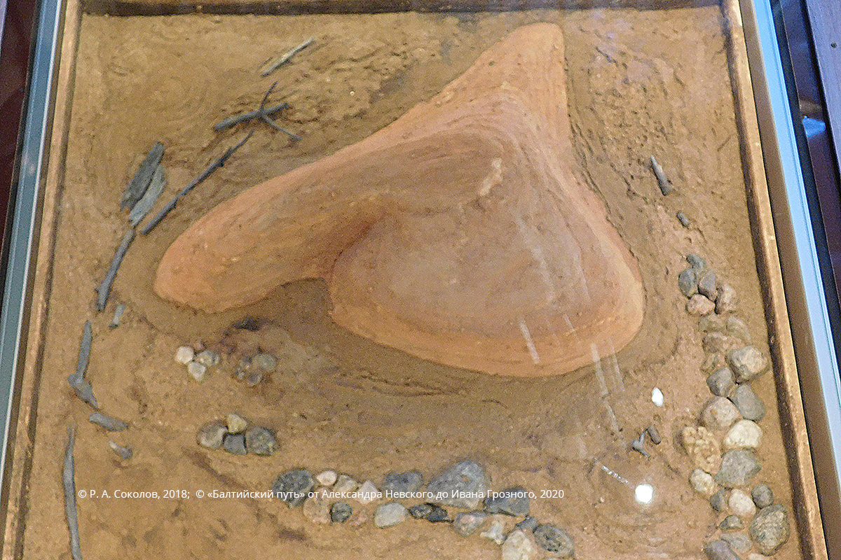
The Voroniy stone, model
A. I. Bunin, disagreeing with his predecessors’reasoning, continued research and identified the Voronij stone with Voronij Island situated in the south-eastern part of Lake Chudskoye. This important conclusion was based, however, exclusively on the indirect toponymy data, as Bunin carried out no field investigation.
During thefirst four decades of the 20th century, the historians were not concerned with the localization of the Battle on the Ice. Apparently, before 1917 they had other items on the agenda — theevents in the latter days of the Russian Empire developed dramatically and dynamically. In twenty years after the revolutionary upheaval nothing was published about Alexander Nevsky: being a symbol of the previous monarchic statehood, he completely fell out of the ideological system of the new Soviet power regime.
However, the situation changed in 1937: at first articles and then brochures began to be published; in 1938 a feature film about Alexander Nevsky was made. The defeat of the German knights — theBattle on the Ice — was shown as the highlight of his reign. This was apparently the reason why the new theories concerning its localization appeared, not all of them being really new. In particular, A. Ya. Lurie and other authors agreed with Trusman’s conclusions. Among them was M. N. Tikhomirov, who rethought his position in the post-war years. Only Ye. A. Razin (the author of a fundamental work on military history) suggested an original hypothesis (the eastern shore of Lake Chudskoye), yet also without any proof.
In the early 1950s the researchers continued investigation, but at that time they made trips to Lake Chudskoye region. At first Tikhomirov changed his approach. Moving away from Trusman’s hypothesis, he suggested that the battle took place in the area of today’s Lake Teploe, in about one kilometre away from the eastern shore where the village Chudskaya Rudnitsa is located. A year later, an Estonian historian E. K. Paklar, who devoted many years to that subject and many times visited the area, published an article. His findings were closer to Bunin’s view, i.e. new localization was associated with Voroniy Island.

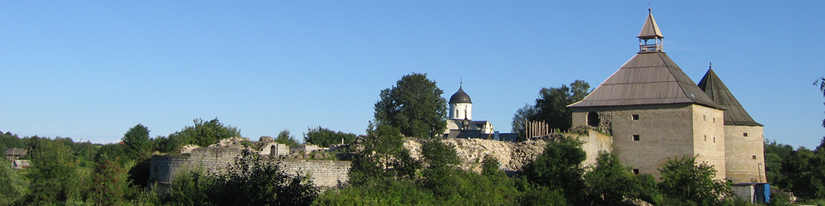
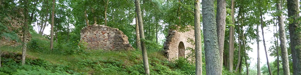
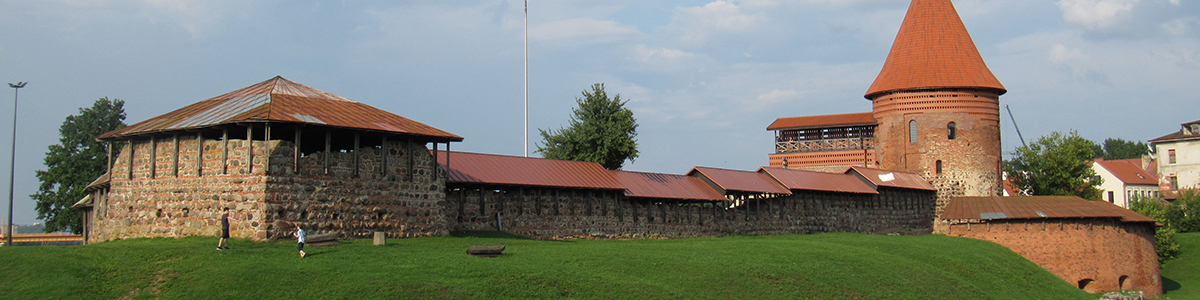
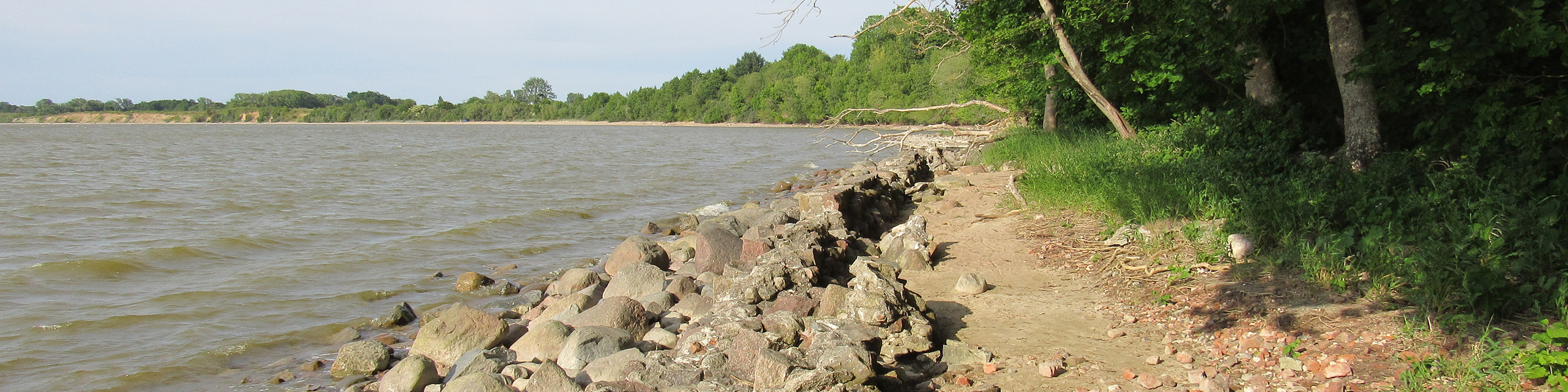
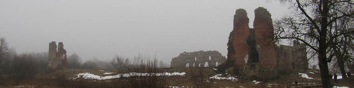
The village of Chudskaya Rudnitsa. Mound on the outskirts of the village
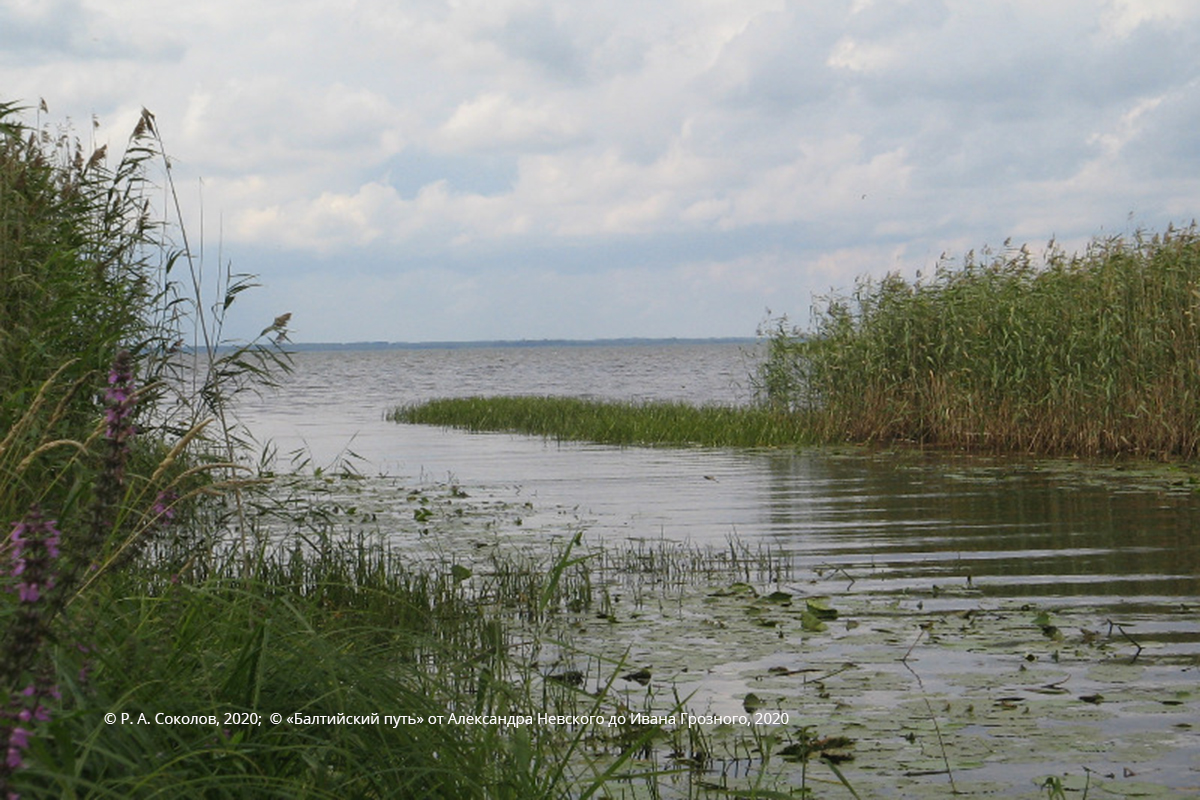
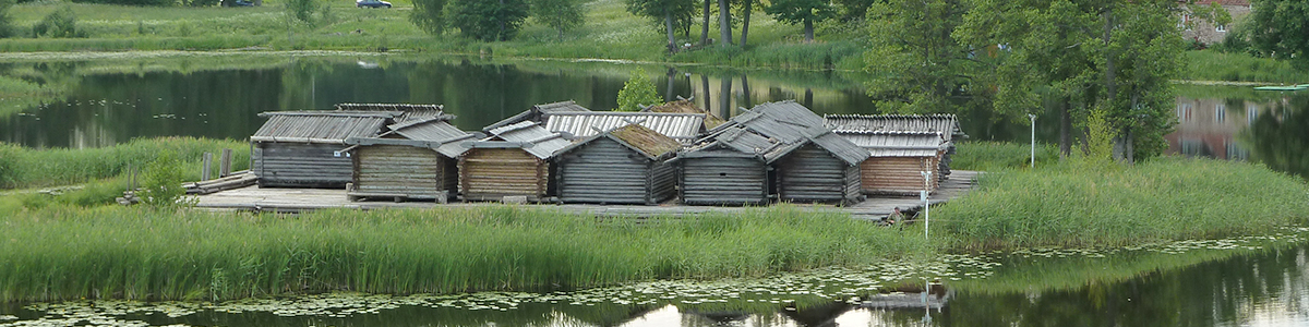
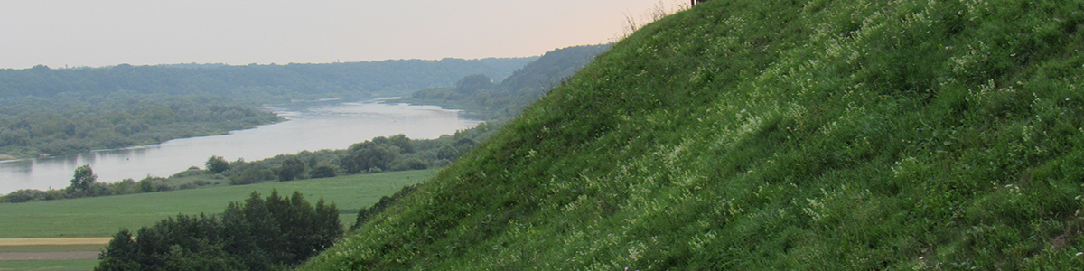
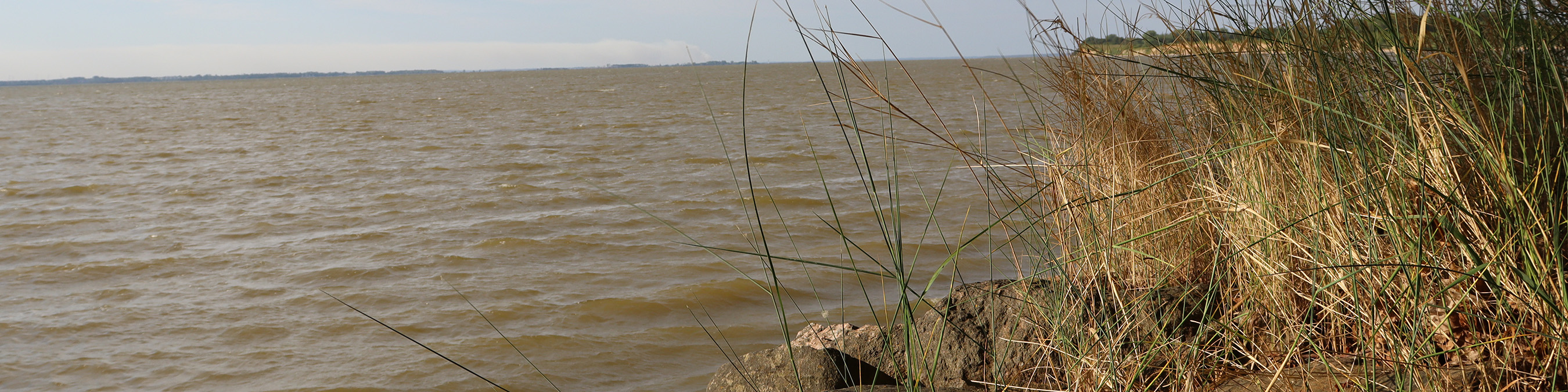
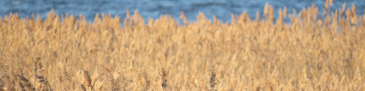
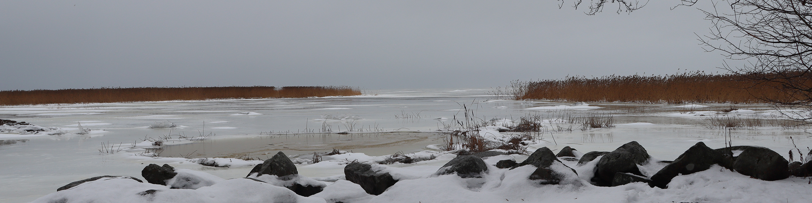
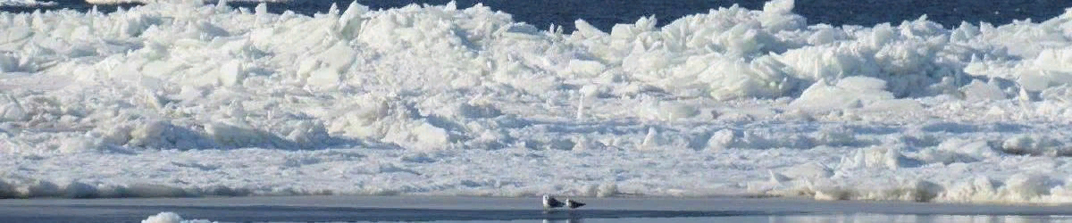
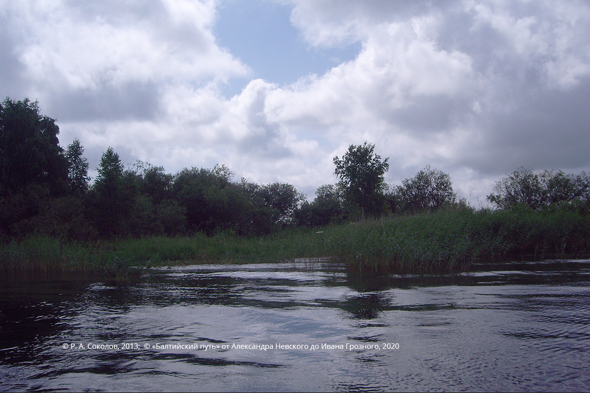
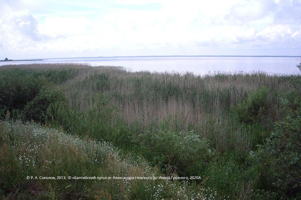
Pnevo. View of the lake Teploye
In 1956, G. N. Karaev headed the research in the area, which at first was the initiative of a few enthusiasts and later (1958) became the expedition of the USSR Academy of Science, equipped with experts and technicians. It was ascertained that the lake system level had risen over the years, therefore many islands and heights existing before were hidden by water and could be traced only as shoals. The expedition determined (due to diving work) that one of those shoals is a monolithic residual outcrop made of a porous material — Devonians and stone. That is the remnant of theVoronij stone from the chronicles, washed away by the rising lake. Having collected the data about the lake currents, ice condition, coastline as of the 13th century, etc., G. N. Karaev located the place of the battle to the south-west from the discovered remains of the stone, near Sigovets island (earlier a peninsula).
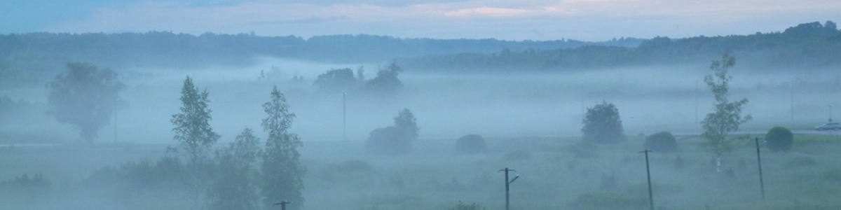
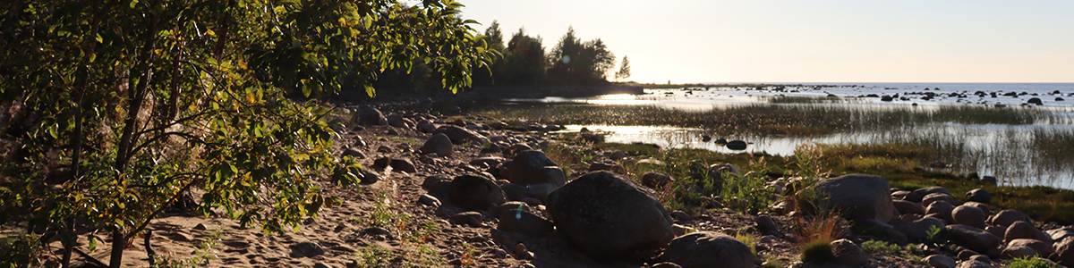
View from the western end of the Voroniy island on the Osolotsa island
View of Voroniy Island from Sigovets island
It should be noted that recently the conclusions of Karaev’s expedition have been often questioned, however the doubters have no verified data at their disposal.New data concerning this problem could, certainly, be collected using modern research methods, but this would require a new expedition, which is hardly possible under present conditions due to the closed status of this border region.
We express our gratitude to the Museum "Battle on the Ice" (Samolva) for permission to place the museum exhibits on our website.
R. A. Sokolov
Tags: routes, Battles, 13 century, By the route of Alexander Nevsky: Battle on the Ice, Battle on the Ice, North-West Russia, Novgorodian Land, Pskovian Land