The South-East Baltics first became involved in the life of the future Europe in the Viking Age (800-1066). It became a transit zone.Two largest transcontinental routes came together in the Neva and the Gulf of Finland:
- The Volga Route (Caspian Sea — Volga — Volkhov — Neva — BalticSea) that connected Asia and Europe;
- The Route from the Varangians to the Greeks (Black Sea — Dnieper — Lovat — Volkhov — Neva — Baltic Sea) that connected the north of Europe with the Byzantine Empire.
The Neva was like a public thoroughfare, where merchant ships from both Asia and Europe went up and down. The Vikings, who were at once traders, pirates, founders of towns and proto-states, controlled both routes in the South-East Baltics.
Little survives from the age of the Vikings: their fortresses were destroyed or rebuilt, the burial mounds excavated, the landscapes have changed beyond recognition. Good imagination is needed to see the traces of that time in today’s realities. We will try to make a virtual journey along ‘the Vikings’ route’.

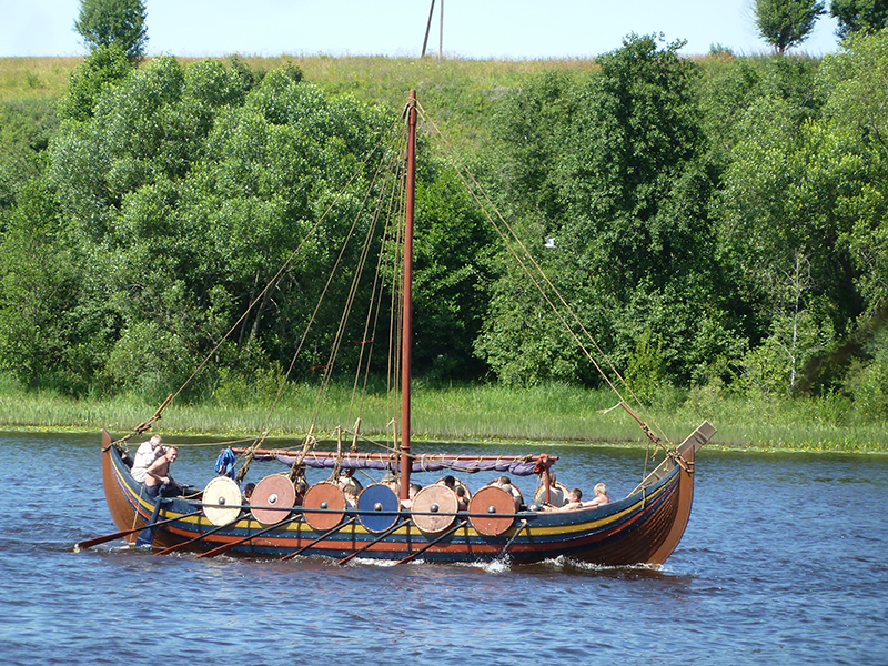
Sailboat on the Volkhov.Modern reconstruction/ Photo by A. I . Filyushkin
From Scandinavia, the Vikings’ships sailed to the Aland Islands — thevery centre of the Baltics—andembarked upon the Austrvegr — theEastern Way.They went into the present-day Gulf of Finlandand travelled more than 400 km to the East, to the Neva estuary.
Geographic features dictated the choice of the northern rather than southern coast of the Gulf of Finland.The northern (Finnish) coast is high, with fjords and skerries, where the Vikings could hide their boats from other pirates or ambush before attacking the passing ships.The southern coast is low and shallow. It was hard to seek the shore because of many sandbanks, while the boat could be seen from afar.
The Vikings built no large settlements on the coasts of the Gulf of Finland. There were only temporary markets (a model of such market can be seen in the Rosala Viking Centre). Sometimes wrecked ships are found near the islands (e.g., near the Finnish island Lapuri). On the southern coast of the gulf, the Vikings left thePeterhof hoard of silver coins. Near the Neva estuary, the archaeologists found two more silver hoards — inthe Galernaya harbour of Vasilyevsky Island and in Martyshkino settlement.
The newcomers from the Baltics did not build their strongholds on the coast, but preferred to settle farther in the mainland, on the large navigational rivers — theparts of the Eastern Way.In the mid-8th century (the assumed date — 753), several kilometres from the estuary ofthe Volkhov, the Aldeigjuborg fortress was erected — thefirst Vikings’ fortress in the region.The Scandinavian name stems from the Finnish ‘Alode-jogi’ (‘Lower River’), from which the Russian name ‘Ladoga’ was derived.This place is often mentioned in Scandinavian sagas — itwas the scene of The Saga of Hálfdanar Eysteinssonar and The Saga of Sturlaug the Hardworking.

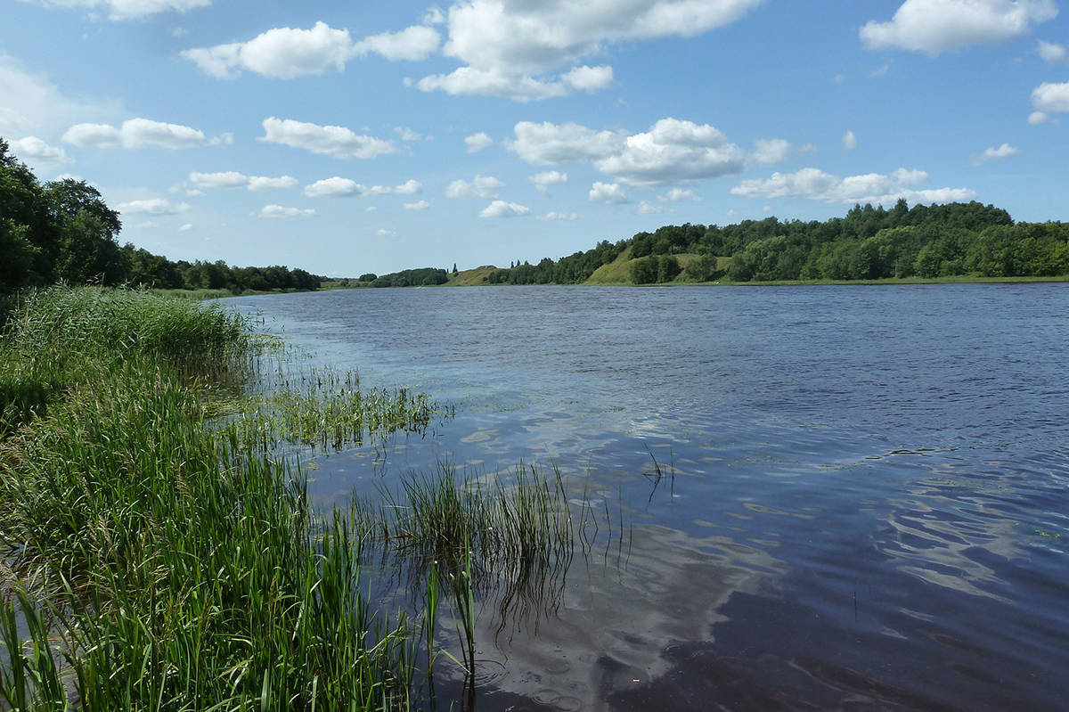
The Volkhov River near Staraya Ladoga. Photo by A. I . Filyushkin
The other fortress was founded also on the Volkhov River, near its source in Lake Ilmen. In sagas it is called Holmgrad (‘a town on an island’), identified by the historian T. N. Jackson as the Rurikovo Gorodische near the present-day Veliky Novgorod. Those two fortresses allowed the Vikings to control the way from the Baltics into the Neva, Lake Ladoga, the Volkhov and Lake Ilmen and further southward — thenorthern part of the legendary Route from the Varangians to the Greeksacross East Europe.

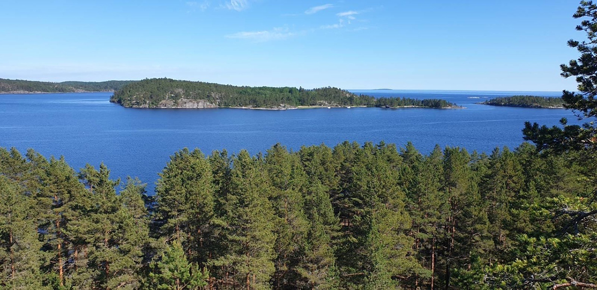
Ladoga skerries. Photo by R. V. Turygina

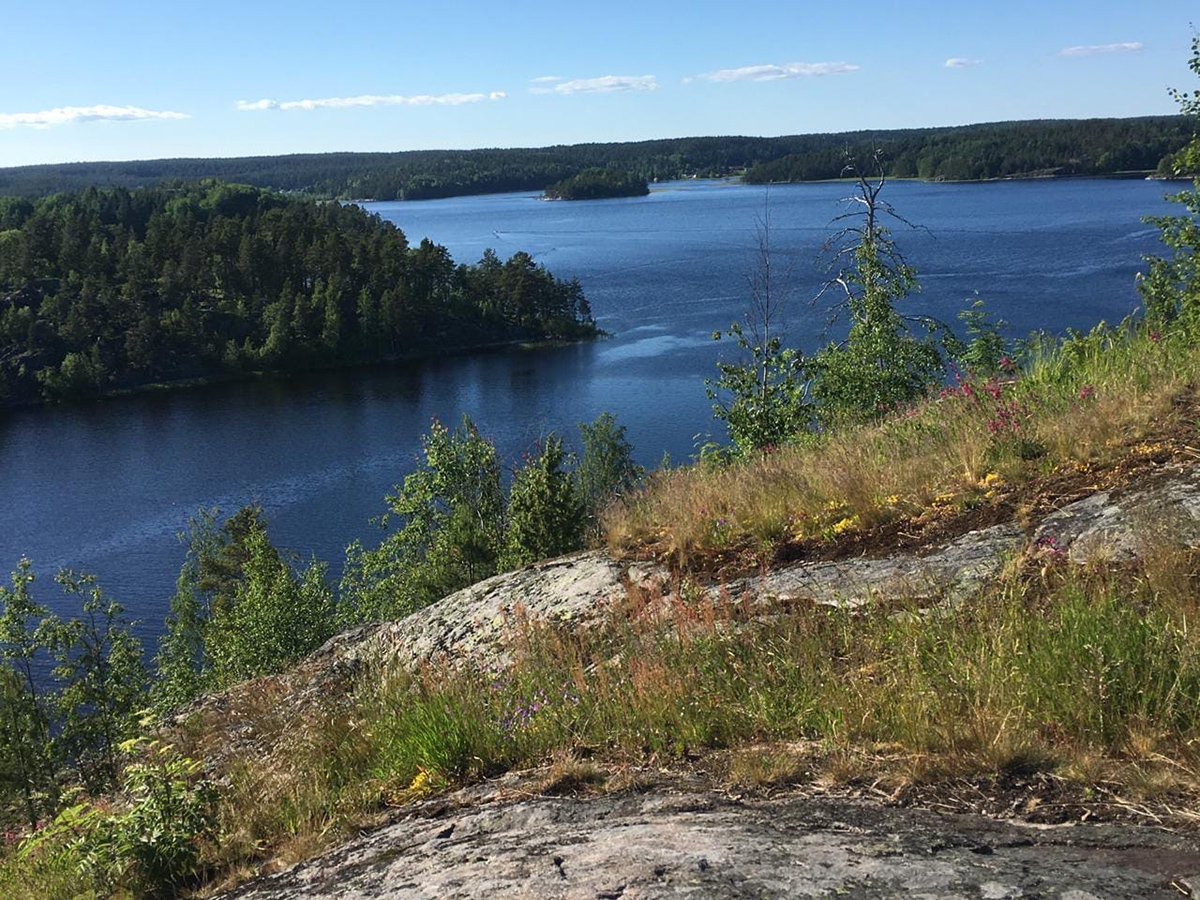
Ladoga skerries. Photo by R. V. Turygina
The Vikings’ traces in the Neva and Lake Ladoga region include artefacts (jewellery, coins, weapons) and burials (G. S. Lebedev defines the gravesite in Plakun place in Staraya Ladoga as the grave of Rurik and Oleg’s retinue). The most noteworthy figure of the Viking Age connected with the region was Rurik, considered to be the founder of the dynasty of the Russian princes Rurikovichi,ruling until 1598. Rurik is identified with various personalities, most often with Rorik of Dorestad from the Danish family of Skylding ruling in Hedeby. Some identify Rurik with the Pomor Obodrite Slavs’ legendary prince Rerik; others consider him to be a mythical figure.
Be that as it may, numerous‘places of memory’ in North-West Rus’ are connected with Rurik and the legend of the Varangians’ arrival.In Ladoga, where Rurik ruled and which is considered to be the ‘first capital of Rus’, one can see the monument to the first princes of Rus’ — Rurikand Oleg. In 19thcentury the ruins of the 15th—16th century Ladoga Fortress were called ‘Rurik’s castle’.
The site of an ancient settlement near Veliky Novgorod — theresidence of the Novgorodian princes up to 15th century — is called ‘Rurikovo Gorodische’ (Rurik’s town). According to the legend, Rurik, who perished in the fight at the Luga, is buried in the burial hill Shum-Gora located on the river Luga between villages Podgorye and Zapolye in the Batetsky District of the Novgorod Region. The mythical grave of another Varangian King Oleg issituated in Ladoga. Finally, the tradition links the Old Gorodische in Izborsk to the name of Rurik’s brother Truvor. Near Truvorovo Gorodische one can see a legendary Truvor’s Cross made of stone.
These legends are of a later origin and reflect no historical realities but rather the myths kept in historical memory.However, being embodied in the landmarks and linked to the events and actors of the Russian history, they attributed historical meaning to ruins and kurgansand created the topography of the ‘places of memory’ in North-West Rus’. This explains why the view of Rurikovo Gorodische was considered to be ‘one of the main views of the Russian history’.
A. I. Filyushkin
Tags: routes, before 13 century, The struggle for the Baltic until the 13th century

 English (United Kingdom)
  Russian (Russia)


